
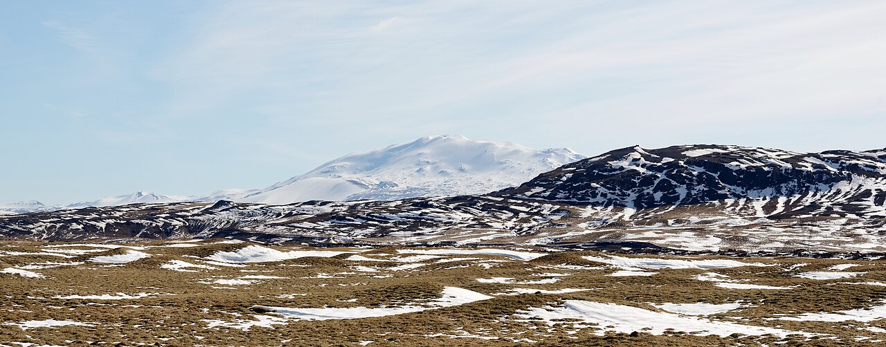
The Form of the Mountain
Hekla presents as an elongated ridge oriented roughly southwest to northeast, its crest defined by Heklugjá, a fissure approximately 5.5 km in length. Eruptions have issued from various points along this fissure, giving Hekla a linear rather than radially symmetric eruptive character. The Smithsonian Global Volcanism Program and the Icelandic Meteorological Office both give the summit elevation as approximately 1,491 m.
Historical Eruptions and Tephra as Time Marker
Documented historical eruptions at Hekla extend back to 1104, as recorded by the Smithsonian Global Volcanism Program. This long record reflects both the frequency of Hekla's activity and the relative continuity of written documentation in Iceland. The 1104 eruption is itself identified partly through tephra deposits, illustrating the interplay between written record and geological evidence in Hekla research. Each significant eruption deposited layers of ash and volcanic material whose physical properties allow geologists to distinguish them from one another.
These tephra layers, preserved in bog sediments, lake cores, and soil profiles across Iceland and beyond, serve as time-equivalent surfaces that allow researchers to date other deposits found in the same sequences. When an identifiable Hekla tephra layer appears in a sediment core, it provides a fixed point against which the ages of overlying and underlying material can be estimated.
Notable Eruptions and Monitoring
Notable eruptions include those of 1947 and 2000, among other episodes documented by the Icelandic Meteorological Office. These events have been observed with instrumentation that records ground deformation and seismic activity accompanying eruptive episodes. The Icelandic Meteorological Office monitors these changes as part of ongoing volcanic surveillance across Iceland.