
Multi-Peak Structure and Watershed Position
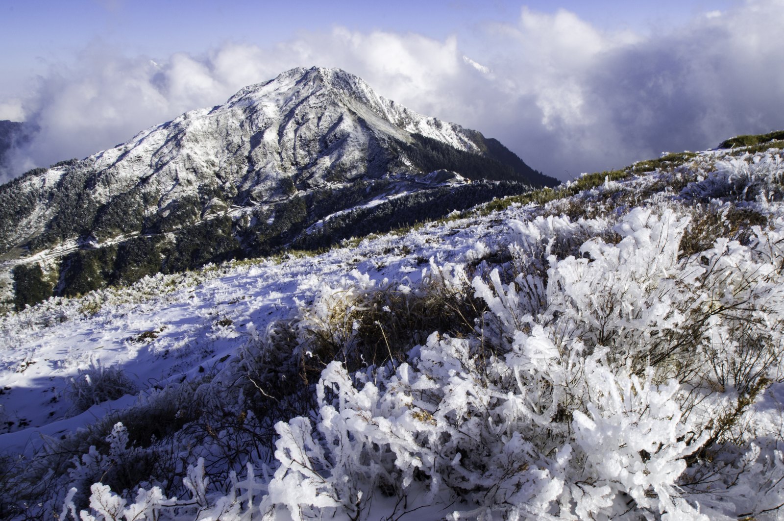
Taiwan National Park records list Hehuan Mountain as the Hehuan Peaks group, in which the main peak stands at approximately 3,417 metres and the north peak at approximately 3,422 metres — an elevation difference of less than ten metres, yet each topographically independent. The main peak lies on the western fringe of Taroko National Park, precisely on the watershed between the Liwu River basin and the Zhuoshui River basin, a position that links it simultaneously with two entirely different drainage systems and landscapes on either side of Taiwan.
The watershed character of the main peak gives it a special spatial significance. To the east, water drains into the Liwu River, which ultimately cuts through the Central Mountain Range to form Taroko Gorge; to the west, water enters the Zhuoshui River basin and flows through the Nantou plains. Although this dividing line leaves no visible marker on the surface of the Hehuan Mountain area, it hydrographically delineates the starting points of two of Taiwan's major drainage systems.
The Vegetation Landscape of the North Peak
Hehuan North Peak is known for its extensive coverage of Rhododendron rubropilosum (red-hair azalea). Records in the Taiwan National Park quarterly journal note that the north peak area is home to dense stands of this azalea, whose flowering season creates a visually striking alpine landscape. Rhododendron rubropilosum is a native species of Taiwan's mid-to-high-altitude mountain zones, and its concentrated presence on Hehuan North Peak makes it a representative site for observing this vegetation belt.
Compared with the main peak's status as a watershed, the north peak's distinctiveness derives more from this vegetation feature than from topographic prominence. The two peaks differ little in elevation, yet each carries its own geographic and natural attributes, creating a differentiated narrative within the Hehuan Peaks group.
Military Remains and Environmental Restoration on the Main Peak
Taiwan National Park records document that the Hehuan main peak was once garrisoned by military units; after the military withdrew, the national park administration carried out environmental restoration work on the summit area. This historical layer reveals the background of the high-altitude terrain being put to military use during a certain period, and indicates that the current summit landscape is the result of human intervention and subsequent restoration rather than a wholly natural, pristine state.
The transition between the military's withdrawal and the administration's takeover marks the shift of Hehuan main peak from restricted use to nature conservation management. This process changed the appearance of the summit's facilities; the specific content and scope of the restoration work are based on official Taiwan National Park records. The relevant assessments are administrative facts rather than properties of the terrain itself.