
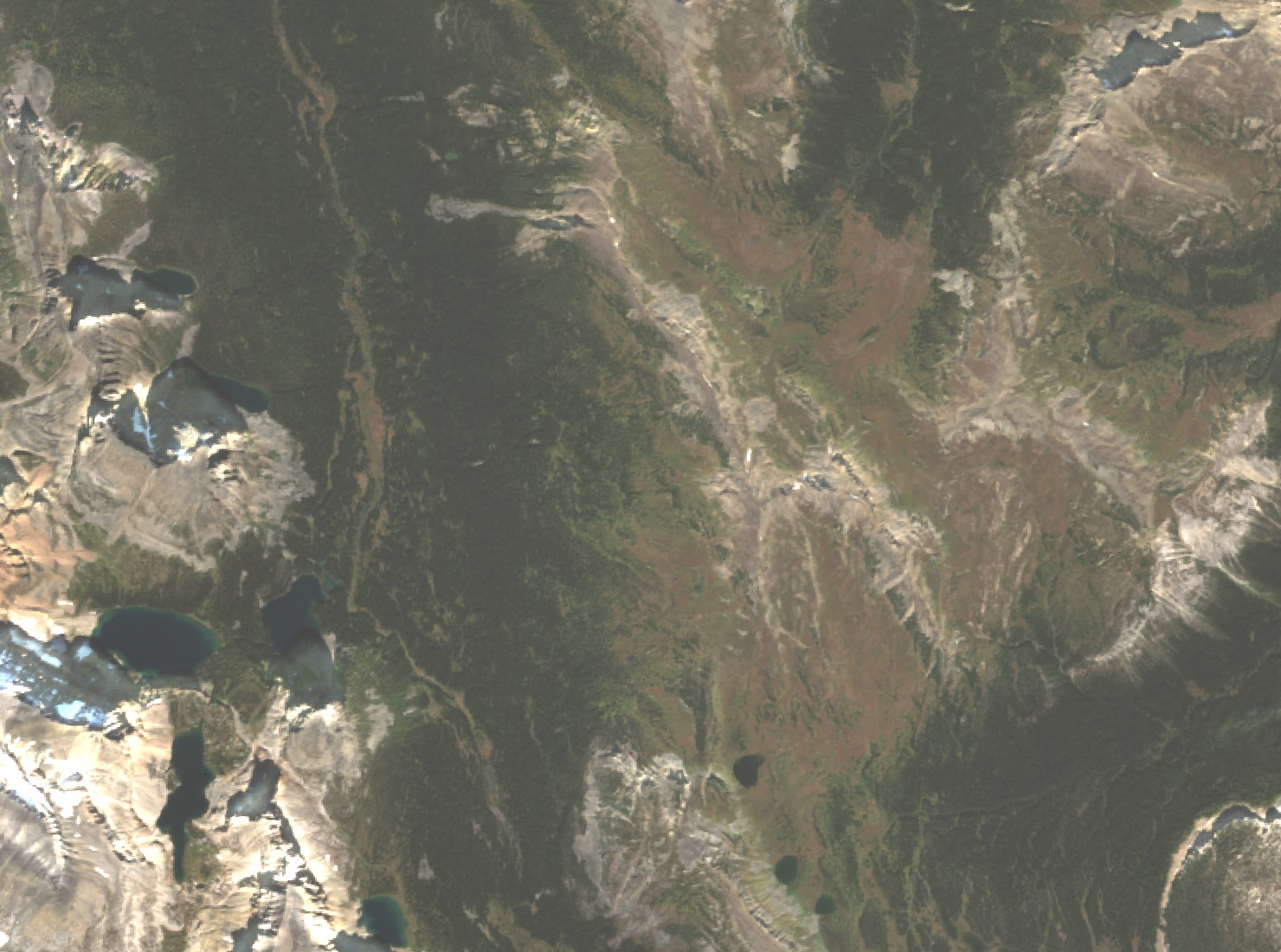
A Ridge High Point in the Ball Range
The high point sits about 1.7 kilometres north-northeast of Healy Pass within the Ball Range of the Canadian Rockies. The two features are separate topographic entities on the same ridge system. A federal geographic names database entry dated May 7, 1959 records the decision for Healy Pass, a distinct topographic saddle, and does not extend to the summit.
Field Visits and Documentation
Steven Song visited and photographed the summit on January 13, 2013. On December 14 that year, Vern Dewit and Wietse reached the high point and noted loose snow in the meadows and wind along the exposed ridge. On February 24, 2019, Sonny Bou and Zosia Zgolak found a clear, calm day at the summit and photographed views extending toward Egypt Lake. That 2019 visit recorded a GPS elevation of about 2,578 m, while the 2013 field account noted 2,577 m, supporting a reported figure of about 2,580 m.
Valley Meadows and Aquatic Habitat
Parks Canada describes the upper Healy Creek valley as a summer wildflower landscape, typically in bloom from mid-July through late August, with alpine larches turning gold in late September. The valley's waters drain toward Healy Creek and its tributaries, which originate near this part of the Ball Range. In 2019, federal fisheries scientists delineated critical habitat for Westslope cutthroat trout (Oncorhynchus clarkii lewisi) within areas that include the Healy Lakes and sections of Healy Creek and its tributaries.