
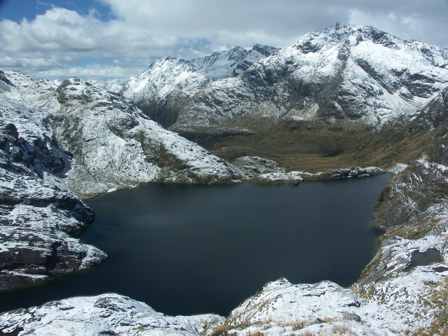
Landform and Lake
The Routeburn Track crosses glacial debris on the approach above Lake Harris. From Conical Hill in 1923, a writer for the Otago Witness looked west past Lake McKerrow to the breakers at Martins Bay. Zoharby’s photograph of Lake Harris looks back toward the lake after snowfall, from the path between the hill and the saddle.
The rocks beneath the pass
In 1974 the geologist Yosuke Kawachi described a section running from east of Lake Harris, across the saddle and towards the Livingstone Fault. Some of the rocks are greenschist. They began as deposits of volcanic ash that hardened and later recrystallised. D. G. Bishop and colleagues formally named the Harris Saddle Formation in 1976.
Ancestral Route and Early Travel
The Queenstown Lakes District’s record of ancestral places identifies Tarahaka Whakatipu as part of the route between Whakatipu Waimāori (Lake Wakatipu) and Whakatipu Waitai (Martins Bay). It was a route for gathering and carrying pounamu, a stone valued by Māori for tools and ornaments.
In January 1863, the gold prospector Patrick Quirk Caples travelled alone up the Route Burn, cutting steps in snow and ice to reach the saddle. By the 1880s, visitors were riding into the lower Routeburn valley and continuing on foot with guides to the pass.