
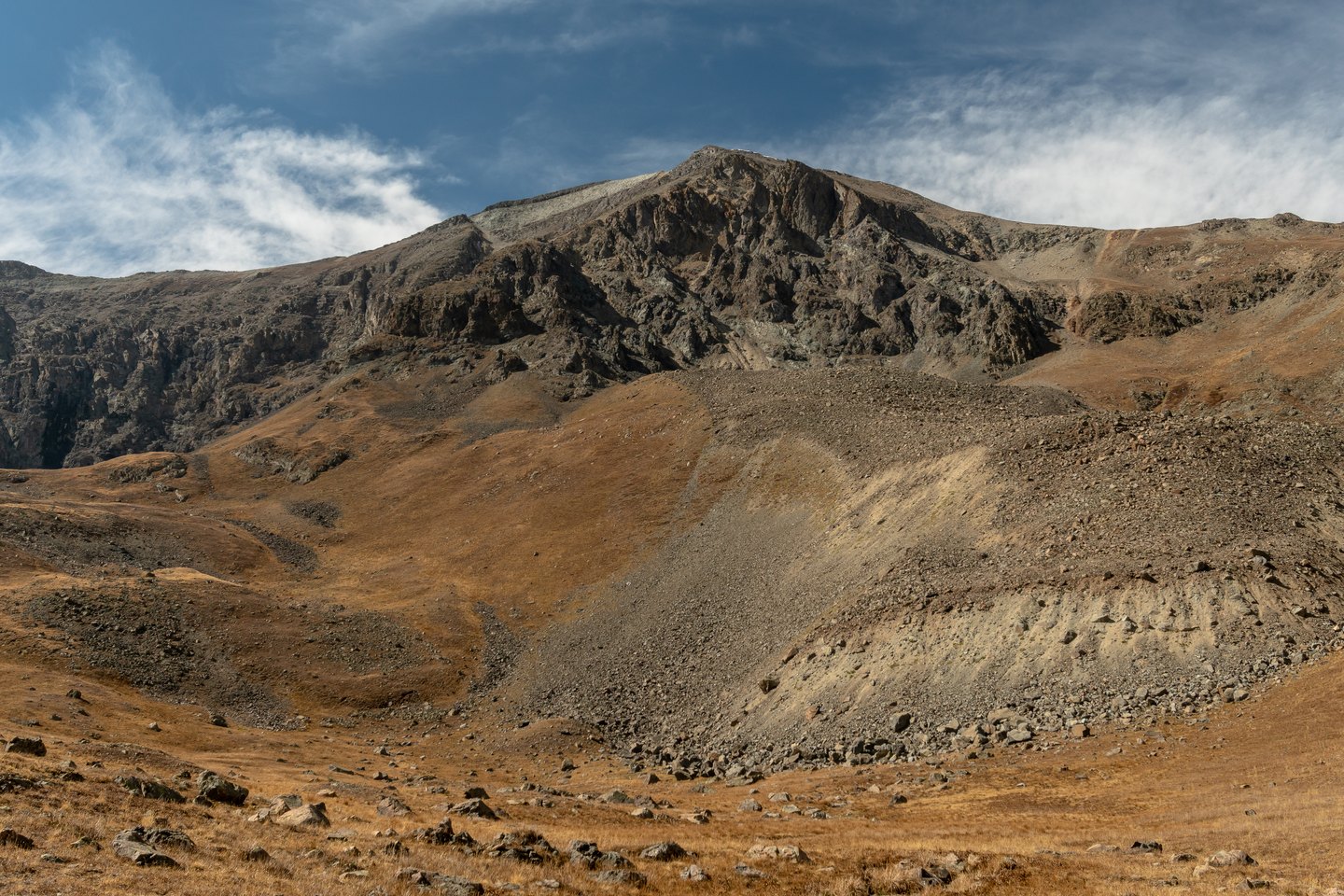
Glacial Landforms and Mineral Geology
The Bureau of Land Management describes the Handies Peak area as containing multiple high peaks, three alpine lakes, and major canyons, landforms shaped by glaciation. The surrounding terrain includes rocks of multiple ages and origins, and the U.S. Geological Survey has mapped alteration and mineral veins across the Handies and Redcloud study areas.
The Handies Peak Wilderness Study Area
In 1980 the Bureau of Land Management designated the Handies Peak Wilderness Study Area, a federal study area name reflecting the character of the surrounding terrain. The unit encompasses the peak alongside the alpine lakes, canyon systems, and adjoining summits the Bureau identifies within this part of the San Juan Mountains.
Mapping and Scientific Record
The U.S. Geological Survey published the Handies Peak quadrangle map in 1987. That map, together with the USGS alteration and vein maps for the Handies and Redcloud study areas, provides the cartographic and geological record for the summit and the broader landscape around it.