
Administrative and Pastoral Classification
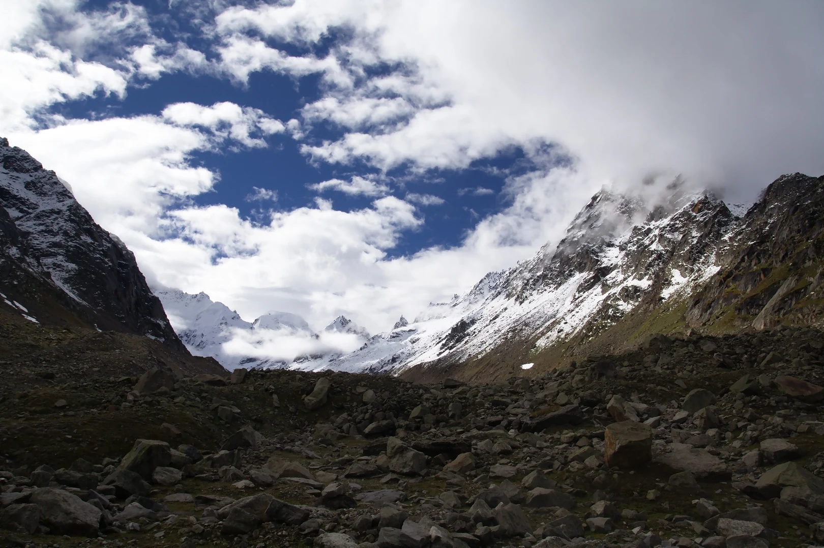
India's Inderkila boundary notification describes the eastern boundary of that area as running along Hampta Pass, at the division between Lahoul Division and the Manali Forest Range. The Himachal Pradesh Forest Department's grazing advisory record lists named grazing localities on both the Lahaul Division and Inderkila National Park sides of the pass.
The RAF Mountaineering Association Crossing of May 1955
In May 1955, A. J. M. Smyth led a Royal Air Force Mountaineering Association party that found Rohtang Pass closed to pack ponies by late snow. Part of the team set out from Chhika and crossed Hamta Pass on 24 May. Smyth's account in the Himalayan Journal records arriving at the pass late in the afternoon in the middle of a snowstorm, camping on the Lahaul side, and reaching Chhatru the following day. Heavy snow had also forced a change to the expedition's planned Bara Shigri approach.
The Cambridge University Expedition Return of 1955
T. H. Braham's account of the Cambridge University Expedition records that the expedition travelled outward to Spiti via Rohtang and Kanzam in August 1955 and returned to Manali by crossing Hampta Pass. Braham's report, published in 1956, gave 14,027 feet for the crossing.