
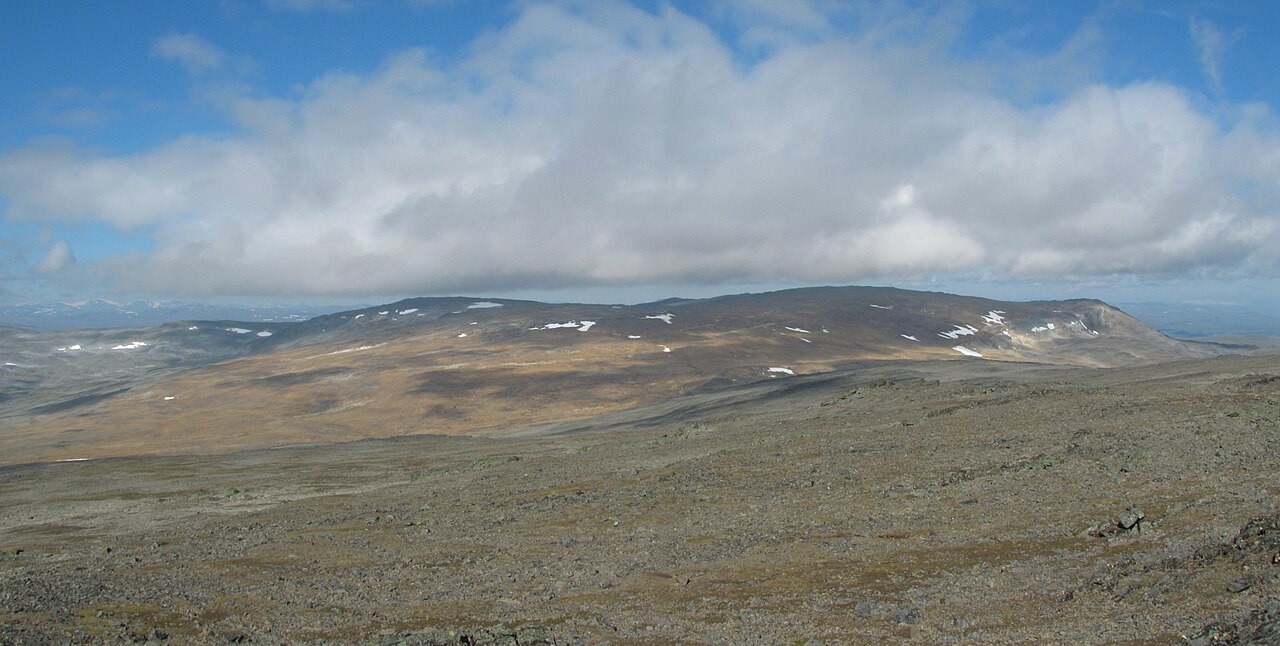
A border point, not a summit
Finland's highest land point stands at 1,324 m at boundary cairn 303B, on the slope that descends from the massif toward Finnish territory. The massif's highest top, Ráisduottarháldi, reaches 1,361 m according to both Norwegian and Finnish national mapping authorities and lies entirely within Norway. The distinction between a country's high point on a border slope and the topographic summit of the same massif is confirmed by institutional survey data, not a matter of interpretation.
The 2024 cairn renewal
In 2024, the National Land Survey of Finland and the Norwegian Mapping Authority jointly replaced the heartstone of cairn 303B. The renewal was a cross-border survey operation: the two agencies verified the boundary location and confirmed the official elevation that the monument marks. The cairn is the physical expression of that agreed position on the ground.
Háldi transboundary landscape
Since 2020, the area around the massif has been managed as the Háldi transboundary cooperation zone, linking Finland's Käsivarsi Wilderness Area with the Reisa and Ráisduottarháldi protected areas in Norway. Metsähallitus describes the landscape in terms of its Sámi place-names and pastoral character. The Norwegian summit retains its distinct Sámi name, Ráisduottarháldi, which is separate from the Finnish toponym Halti applied to the broader massif.