
Summit and Geology
The University of Innsbruck field guide records the terrain around the Hafelekarspitze as an exposure of Triassic carbonate rock. Limestone and dolomite formations preserve sequences deposited in shallow Triassic seas, now making up the visible ridgeline of the Nordkette. The summit reaches 2,334 metres above sea level.
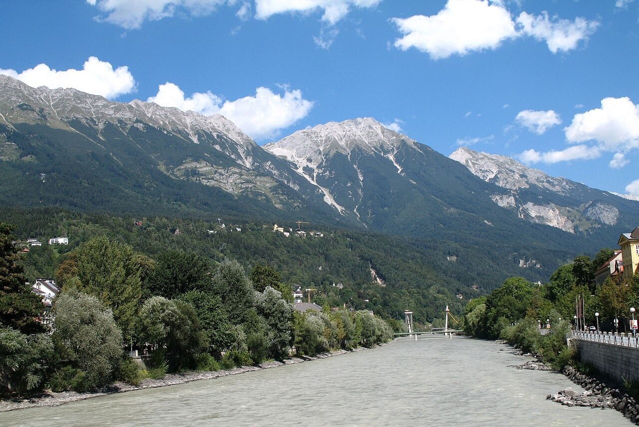
From the top, the view runs directly south across the Inn valley to Innsbruck. The Nordkette presents a steep southern face to the valley, and the carbonate rock at the summit — weathered and open to the sky — is characteristic of a high Triassic limestone crest.
The Nordkettenbahn
The Nordkettenbahn cableway opened in the summer of 1928. The Seegrube station opened on 8 July, with the Hafelekar station following roughly two weeks later. Both stations were designed by architect Franz Baumann. The Hafelekar station is the upper terminus of the cableway, but it sits below the Hafelekarspitze summit, and the remaining distance to the top is on foot.
The operator’s history records major work in the early 1960s and the opening of a renewed cableway to Hafelekar in January 2007.
Mountain Setting
The Hafelekarspitze belongs to the Nordkette, the immediate mountain wall rising north of Innsbruck above the Inn valley, itself part of the broader Karwendel limestone massif. Its southern face drops steeply toward the city and is directly visible from the valley floor.