
Landform and Setting
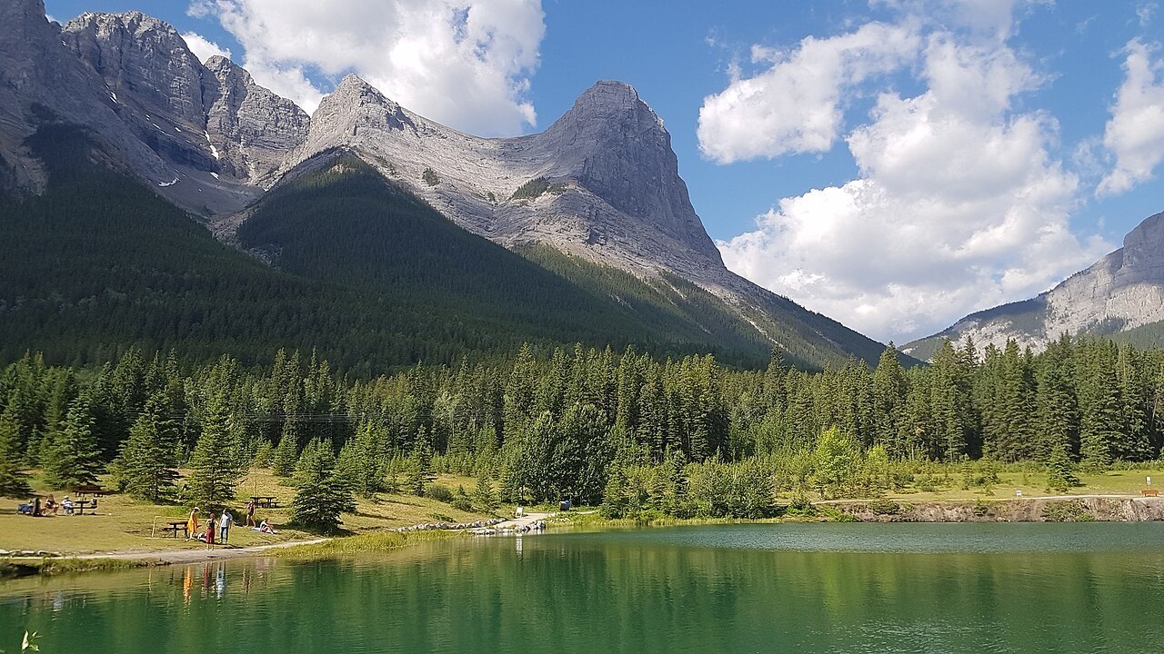
Ha Ling Peak stands above Canmore in the Bow River Valley, Alberta, as the northwest anchor of the Mount Lawrence Grassi ridge. It rises steeply to form the southeastern wall of Whiteman Gap and is visible from both Highway 1 and Highway 742.
Name and Naming History
The peak received its current official name in 1998, honouring Ha Ling, a railway worker associated with Canmore. An attributed story holds that he won a wager by climbing the peak and returning to the Bow Valley. The original ascent date and further biographical details are not independently verified in the official record.
Watershed and Regional Context
Ha Ling Peak drains into the Bow River system within the Kananaskis region. The surrounding terrain combines exposed limestone ridges with glacially carved valley floors characteristic of this stretch of the Canadian Rockies. Its visibility from two major highways makes it a prominent silhouette along the Bow Valley.