
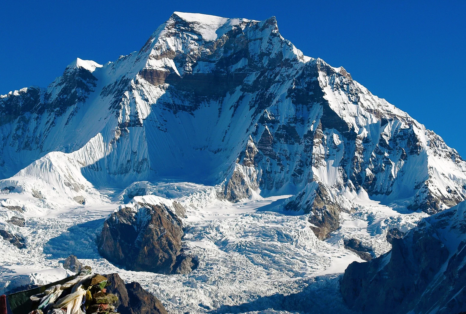
Location and Elevation
Gyachung Kang stands at 7,952 metres, a figure recorded by the Nepal Department of Tourism and confirmed in a 1986 French expedition account. The mountain sits on the Nepal–China border between Cho Oyu to the west and Everest to the east, forming part of the high terrain of the Khumbu region.
First Ascent, 1964
On 10 April 1964, Yukihiko Kato, Kiyoto Sakaizawa, and Pasang Phutar Sherpa—identified as Pasang Phutar III in Kohara's expedition report—reached the summit via the Ngojumba Glacier and a sharp final rock ridge. Two further team members, Kazunobu Machida and Kazunari Yasuhisa, completed the same route and reached the summit the following day, 11 April.
Later Routes and Notable Climbs
In May 1986 a French–Nepali party made a new ascent of the south face, navigating icefalls and steep rock chimneys. In 1999 an expedition led by Andrej Štremfelj, with Marko Prezelj among the team—Prezelj authored the source account—completed a roughly 2,000-metre north-face route. In 2002 Yasushi Yamanoi reached the summit via the Slovenian route. His partner Taeko Yamanoi turned back at around 7,600 metres, and the two descended together.