
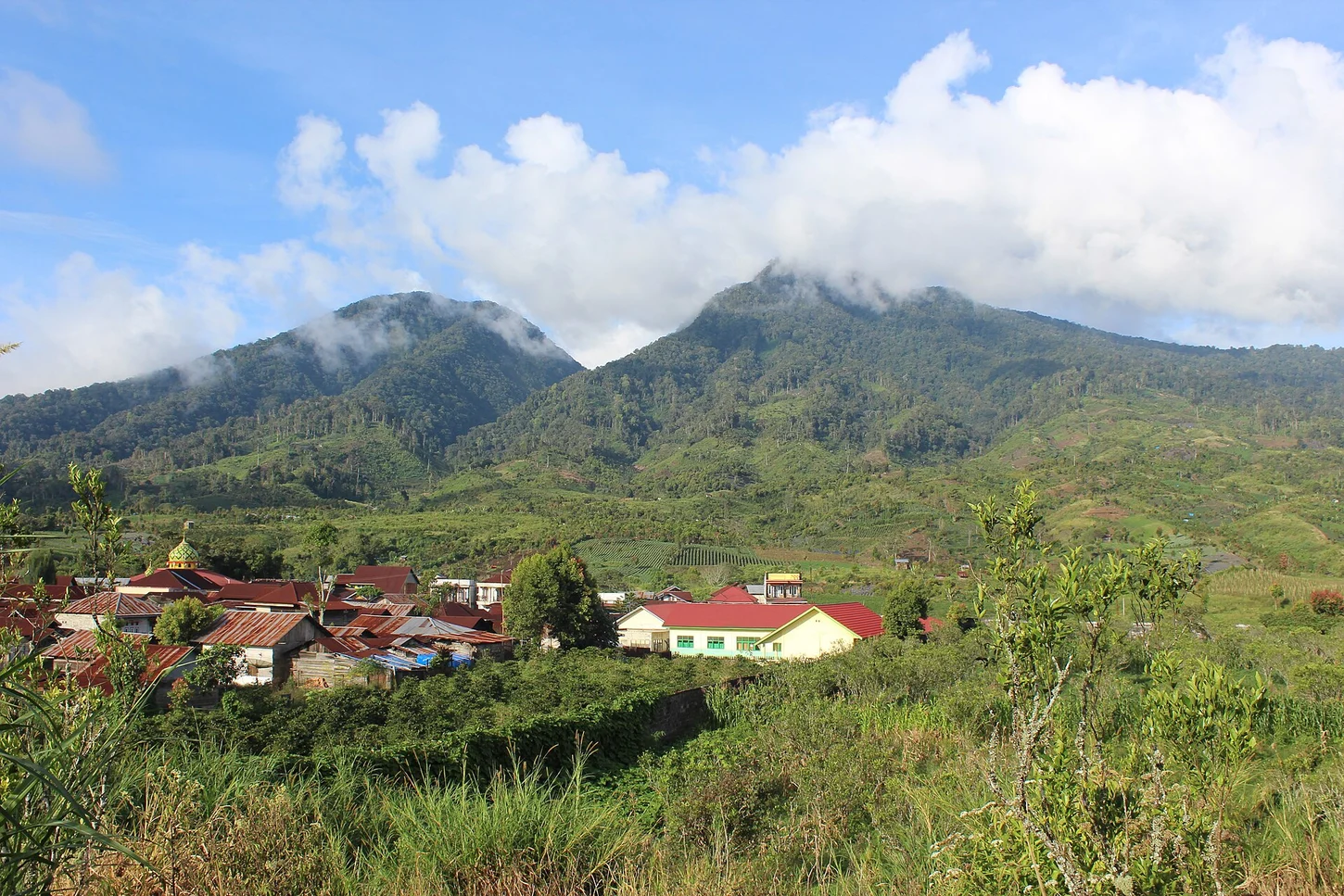
Caldera Lake and Rim
The Ministry of Forestry places Danau Gunung Tujuh at roughly 1,950 metres within a caldera enclosed by several peaks. The Jambi provincial government enumerates seven named heights along that rim, reaching 2,735 metres at the named high point. The enclosed lake and surrounding caldera walls form the defining landform of this volcanic complex in Kerinci.
Kerinci Seblat and UNESCO Inscription
Gunung Tujuh lies within Kerinci Seblat National Park, which the Ministry of Forestry documents as habitat for Sumatran serow and Malayan tapir. In 2004, UNESCO inscribed the Tropical Rainforest Heritage of Sumatra as a serial World Heritage property, with Kerinci Seblat as a named component of that inscription.
2019 Lake Cleanup
In 2019, Indonesia's Ministry of Forestry conducted a documented cleanup operation at Danau Gunung Tujuh within Kerinci Seblat National Park. Ministry publications record the event as a discrete conservation action directed at the caldera lake, within the high-altitude forested landscape of the Kerinci massif in Jambi province.