
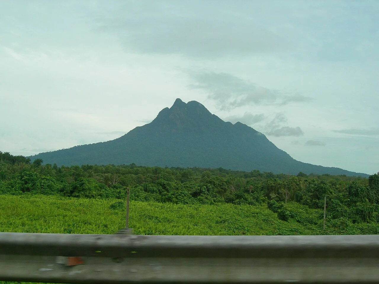
Forest, Streams, and Delta Margins
The Sarawak Forestry Corporation describes Santubong National Park's terrain as heavily forested and drained by several small streams running from the upper slopes toward flat ground below. These watercourses pass through forested foothills before reaching the delta margins where the Sungai Jaong and Bongkisam sites are situated.
French Mission and Delta Activity a Thousand Years Ago
A French Ministry of Culture archaeological mission documented remains at the Sungai Jaong and Bongkisam sites in the delta around Santubong, interpreting activity there as dating to approximately one thousand years ago. Both sites occupy the low-lying riverside and coastal delta zones rather than the forested slopes of the peak itself.
Sarawak Museum Survey of March 2006
The Sarawak Museum conducted a survey of the Sungai Jaong and Bongkisam sites in March 2006, cataloguing slag, furnace remnants, tuyères, and Chinese ceramics from those delta locations. Tuyères are hollow clay tubes that channel air into smelting furnaces; their presence alongside slag indicates metalworking activity at the riverside sites.