
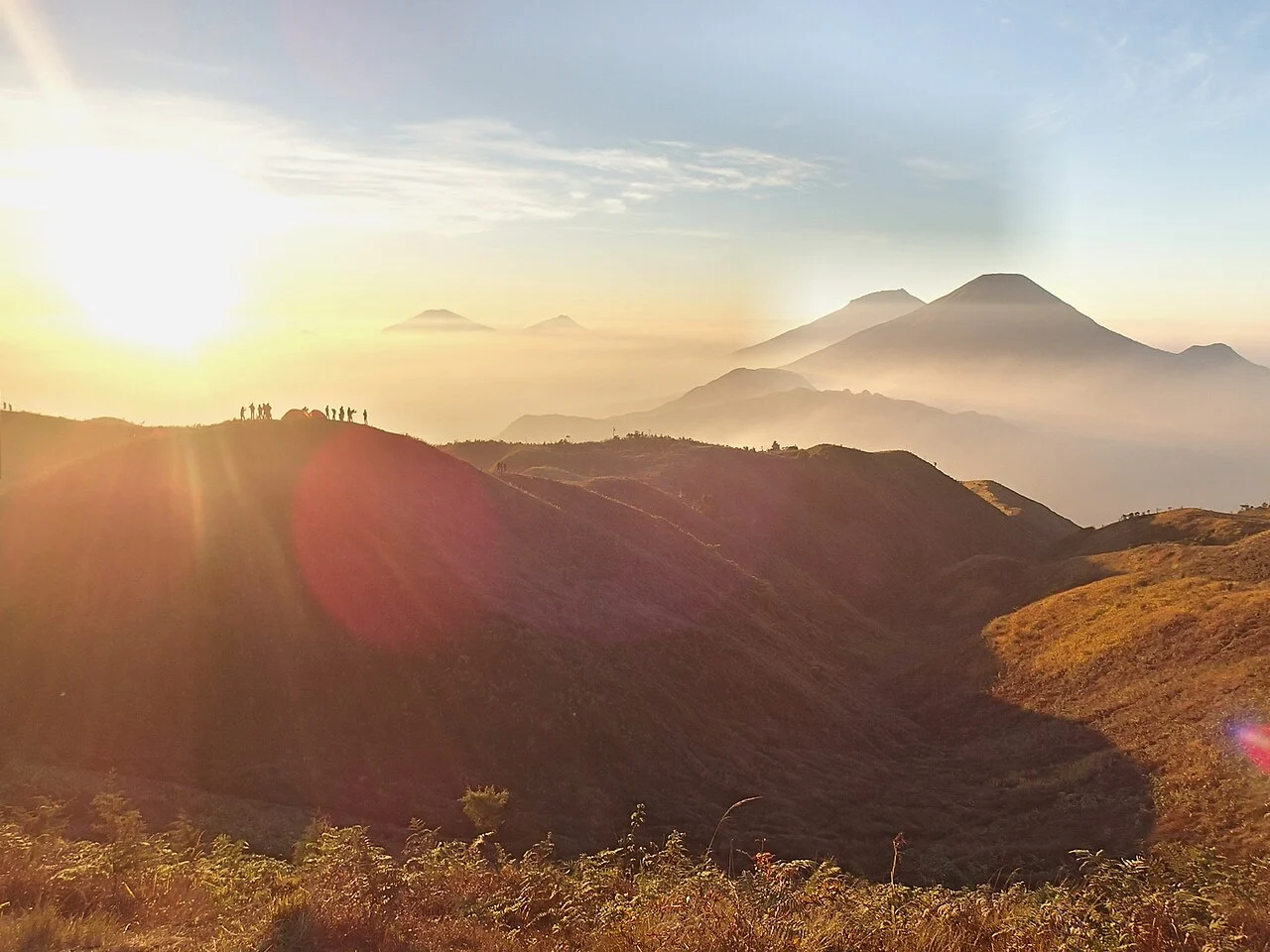
Ridge Terrain and Volcanic Complex
The Geological Agency of Indonesia places Prau's high point at 2,565 metres within the Dieng volcanic complex, a landscape of multiple distinct summits and eruptive features spread across the plateau. Broad grassy ridge crests define the upper mountain, with forested slopes descending below, while district boundaries in Central Java run along its ridgelines.
Terrestrial Orchids and Forest Stewardship
A 2022 BRIN data catalog recorded at least thirty terrestrial orchid types within the Prau area. Perhutani, the Indonesian state forestry enterprise, manages the forested flanks under a formal production and protection forest framework. These orchids root in soil and reflect the moisture levels, soil composition, and canopy structure of Prau's montane forest floor.
Dieng Plateau Setting
The Dieng Plateau, on which Prau stands as the high point, holds concentrations of Hindu temple remains, geothermal features, and agricultural terraces cultivated at high altitude in equatorial Java. The summit ridges and the plateau below together form a landscape shaped by both volcanism and centuries of habitation.