
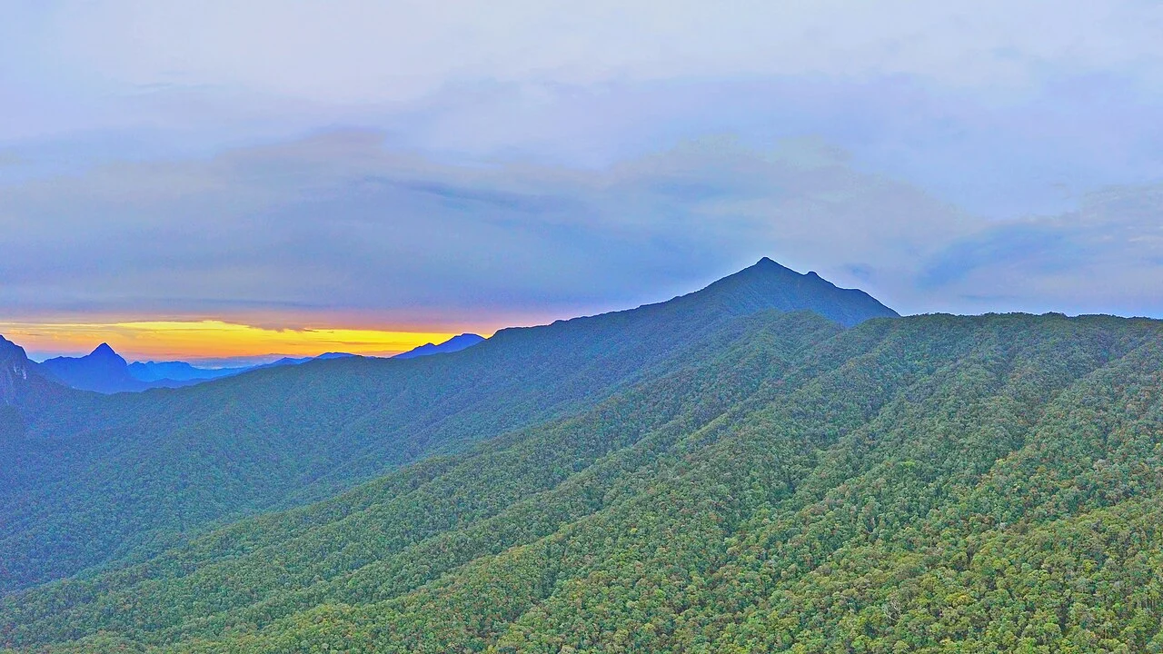
Mulu Formation and Summit Geology
The Mulu Formation's shale and sandstone record a deep marine environment that predates the tectonic uplift raising this corner of Borneo above sea level. Gunung Api and the cave networks below originate in the separate Melinau Limestone formation, geologically independent of the sandstone summit massif. Within the park's limestone zones, cave passages at differing elevations preserve evidence of incremental land uplift over geological time.
Vertical Forest Zones
Vegetation on Gunung Mulu grades from tall dipterocarp lowland forest through montane forest to stunted, wind-shaped scrub covering the uppermost terrain near the 2,376-metre summit. This compression of forest types reflects the interaction of temperature, moisture, and thin soils on exposed ridgelines, with the upper reaches supporting hardy, slow-growing plant communities adapted to those summit conditions.
Gazettal and UNESCO Inscription
The Sarawak Forestry Department gazetted the park on 1 August 1974, establishing formal protection well before international recognition arrived. UNESCO inscribed Gunung Mulu National Park on the World Heritage List in 2000, citing geological complexity, cave systems, and the biodiversity of the broader landscape. The inscription encompasses the full park, including the sandstone summit, limestone formations, river cave passages, and layered forest cover.