
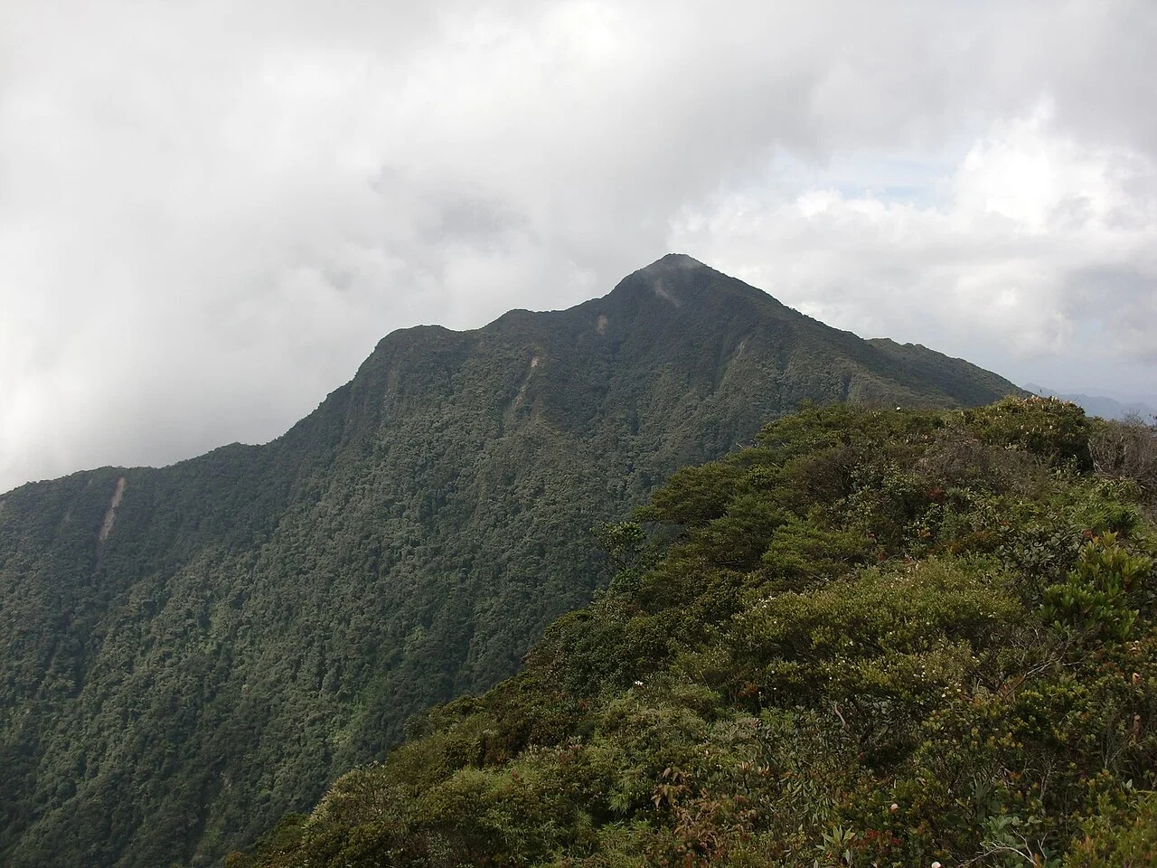
Titiwangsa Range and Bukit Kinta Reserve
The Perak State Legislative Assembly's forest reserve inventory places Gunung Korbu at 2,183 metres within the Bukit Kinta Forest Reserve. The same document records neighbouring Gunung Gayong at 2,173 metres and Gunung Yong Belar at an identical 2,183 metres, with both elevations drawn from the same administrative register.
Kinta River Headwaters and Watershed
The Perak Department of Irrigation and Drainage identifies Gunung Korbu as the point of origin of the Kinta River. From there the river travels roughly 100 kilometres to meet the Perak River at Pasir Salak, draining a watershed the state drainage authority measures at approximately 2,500 square kilometres.
Gunung Kerbau in Early Survey Records
Colonial-era documents spell the mountain Gunung Kerbau. The Society for the History of Natural History recorded that spelling in a Surveyor-General's comparative assessment pairing the peak with Gunung Tahan during the 1905 exploration of that summit, one of the earliest formal attempts to establish the relative heights of major Malayan peaks.