
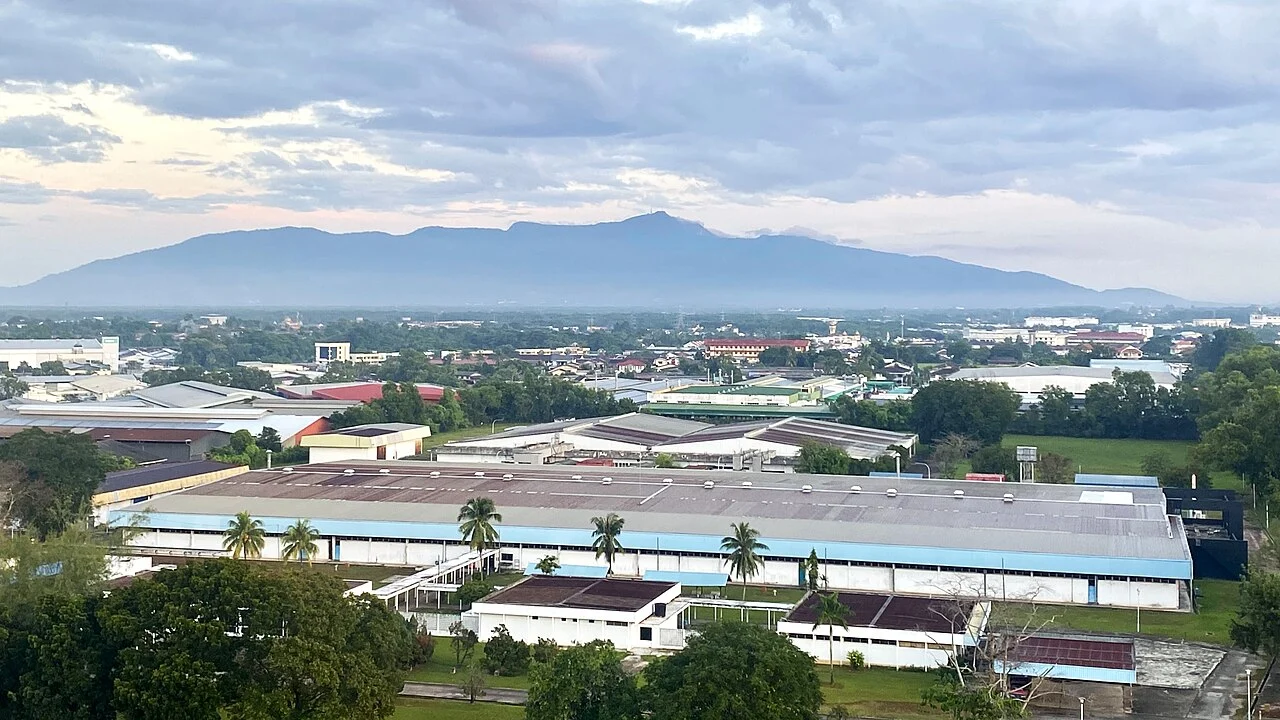
Jerai Formation and Granite Intrusion
The Jerai Formation preserves Cambrian quartzite and schist formed more than 500 million years ago. A granite intrusion approximately 220 million years ago altered the massif's composition. These ages describe the rocks rather than the mountain's present topographic form. The surrounding area received national geopark designation in 2017 under Malaysian national frameworks.
Bujang Valley Archaeology at the Massif's Foot
The Bujang Valley's archaeological sites, among the earliest evidence of Indianised polities on the peninsula, occupy the lower surrounding land at the foot of Gunung Jerai. The excavated finds and structures belong to the valley floor. The summit massif and the valley archaeological zone are geographically separate components of the same regional landscape.
Forest Reserve and 2005 Biodiversity Expeditions
The slopes of Gunung Jerai are protected as a forest reserve. The Forestry Department of Peninsular Malaysia conducted biodiversity expeditions within the reserve in 2005. The reserve encompasses an elevation gradient from coastal lowland to montane forest, compressing multiple habitat types into the compact massif above the Kedah plain.