
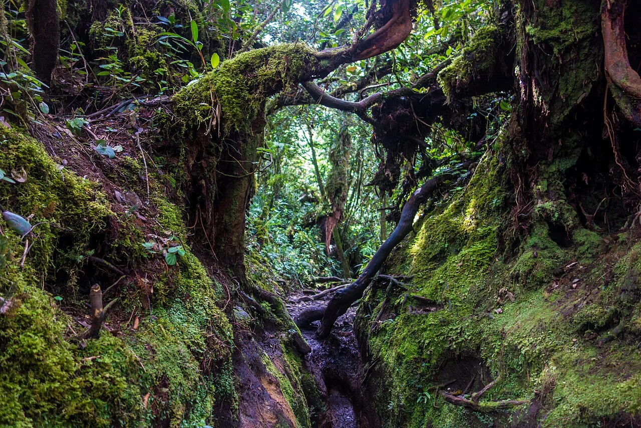
Summit and Forest Zone
The upper elevations of Gunung Irau support montane moss forest, a habitat in which trees, rocks, and ground surfaces carry dense bryophyte growth sustained by persistent cloud cover. The Pahang State Public Library Corporation, reporting on a 2026 conservation event at the summit, documents trampling and other conservation problems affecting this ecosystem.
Documented Public Events
A publication by the Kelantan State Economic Development Corporation records a public climbing event at Gunung Irau in 2011. The Pahang State Public Library Corporation separately documents a conservation-oriented gathering at the summit in 2026, oriented toward ecological awareness of the moss forest rather than recreational achievement.
Highland Planning Context
The Malaysia National Landscape Department's Cameron Highlands Landscape Master Plan situates Gunung Irau's forest within a broader highland development framework, treating the summit's moss forest as one component of a managed landscape. The plan's scope encompasses the full Cameron Highlands district alongside the development pressures the highlands have faced.