
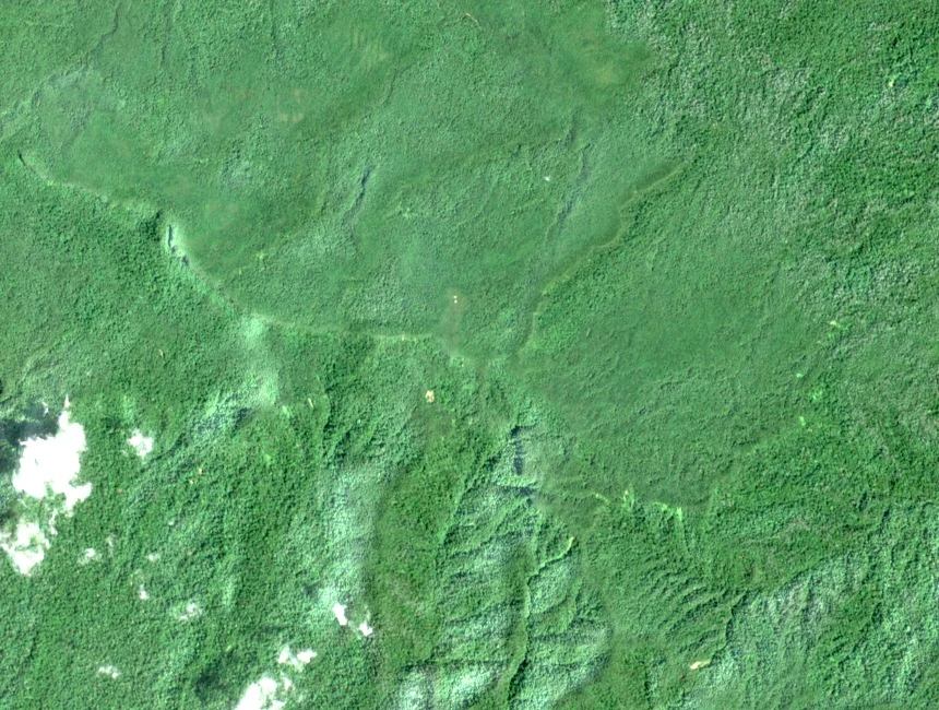
Forest Zones on the Slopes
KETENGAH explicitly records hill dipterocarp, upper dipterocarp, and montane forest as the successive vegetation zones on Gunung Gagau, describing a transition from lowland toward upland forest with increasing elevation. This gradient structures the vegetation and wildlife corridors running through the massif toward the multi-state boundary area above.
Lake Kenyir and the Altered Lowland
KETENGAH documents that the Jenagor dam was completed in 1986, impounding the waters that formed Lake Kenyir. The reservoir changed the broader lowland landscape below Gunung Gagau, replacing valley forest and river systems with an expanse of open water that now defines the lower terrain surrounding the mountain.
Pheasant Monitoring and the 1984 Record
The Department of Wildlife and National Parks' 2018 annual report references follow-up field investigation on Gunung Gagau concerning the kuang gunung pheasant, connecting to earlier evidence recorded in 1984. The 2018 documentation does not establish a confirmed modern population count, and the report associates the inquiry with the mountain's hill and montane forest habitats.