
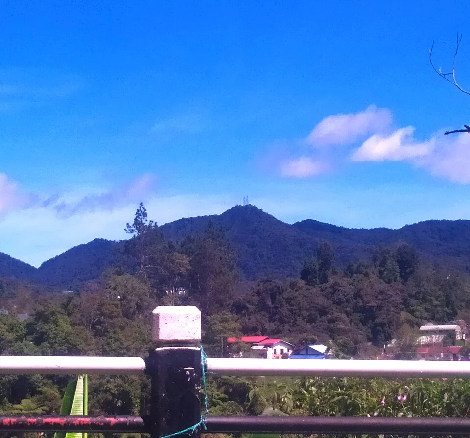
Mossy Forest and Upper Slopes
The Cameron Highlands District Council associates the Brinchang summit zone with the Mossy Forest, a wet upper-montane woodland sustained by cloud immersion and high rainfall. Trees grow shorter and more gnarled than at lower elevations, their branches bearing mosses, liverworts, and filmy ferns that trap moisture from passing cloud even when rain is absent.
Survey and Settlement
Surveyor William Cameron mapped the Cameron Highlands plateau in 1885, an event regional state history records as a documentation milestone. British colonial administrators and planters then developed the area as a hill station through the 1920s, establishing roads, bungalows, and agricultural clearings that shaped a highland landscape of tea estates and forest reserves.
Ridge Position and Neighboring Peaks
Brinchang sits on a ridge within the Cameron Highlands massif, whose valleys carry headwaters draining toward both Pahang and Perak. The summit commands views across tea estates and forest reserves. The Cameron Highlands Landscape Master Plan, produced by Malaysia's National Landscape Department, acknowledges the ecological sensitivity of the upper slopes within a highland conservation framework.