
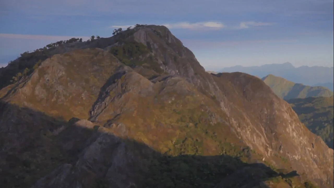
Landscape and Rock Types
The Ministry of Forestry geological notes describe areas of limestone and sandy rock across the broader park landscape. Forests in central Seram transition with elevation from lowland types to montane communities, a gradient the forestry profile identifies as one of the park's defining ecological features, reaching toward Binaiya's high ridges above the surrounding interior.
Park Designation and Forest Species
The ministerial decision of 23 May 1997 established Manusela's national-park boundaries across approximately 189,000 hectares. Ministry documents record endemic forest species associated with the Buru and Seram biogeographic zone within these forests, attributing them to the broader Seram forest system rather than to any single elevation band.
Settlements and Languages of the Interior
A 1970s ethnolinguistic field survey conducted under the Indonesia Ministry of Education and Culture documented small settlements distributed across central Seram whose populations speak a range of distinct languages. The survey records linguistic boundaries that do not align with administrative divisions, providing historical context for the human geography surrounding the Binaiya massif.