
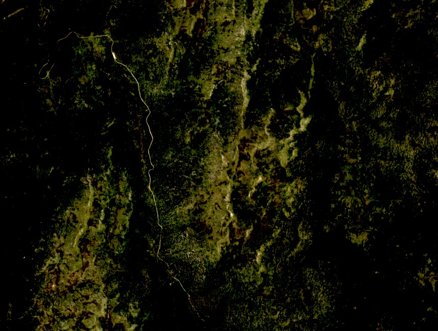
Position and Survey
Geoscience Australia records a survey mark near the summit, and the 1981 Kosciuszko region map by the Royal Botanic Gardens Sydney explicitly labels Gungartan. At 2,068 m, its broad, open profile distinguishes it from the sharper ridgelines to the south, and it is a named feature separate from the neighboring summit of Jagungal.
A 1934 Winter Traverse
A winter party in 1934 passed through the Gungartan area en route to Mawson's Hut, then continued to climb Jagungal. The record makes no first-ascent claim for Gungartan; it figures as a waypoint rather than the objective, illustrating how early ski-touring parties navigated the northern ranges between huts.
Huts of the Neighboring Wilderness
Mawson's Hut and Tin Hut stand in the wilderness surrounding Gungartan, not on the summit itself. The Kosciuszko Huts Association has documented their separate histories spanning grazing-era occupation and early organized ski touring. Both structures reflect the region's layered human presence across the high country.