
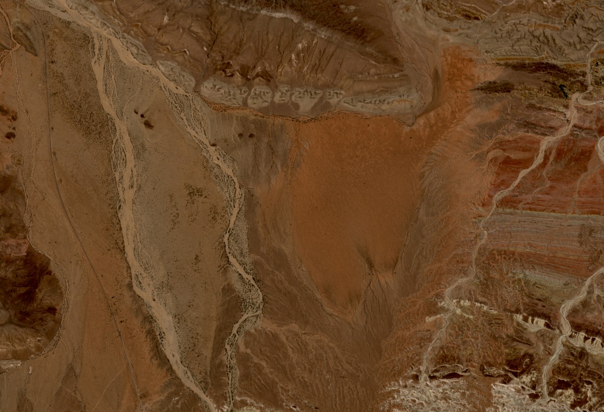
Piedmont Structure and Physiographic Extent
FAO SWALIM's land-use characterisation of selected Somaliland study areas defines the Guban piedmont as a transitional landform between the steep Golis relief and the low coastal plain. Colluvium and debris transported from mountainous catchments accumulate across this gradient, producing broad, gently inclined surfaces interrupted by channel systems that widen toward the coast.
Seasonal Toggas and Alluvial Fan Deposits
Three named seasonal watercourses documented within the surveyed area — Durdur, Biji, and Waheen — carry sediment-laden flows during rainfall events. Each occupies a distinct corridor and deposits alluvial material across fans and wide channel beds at varying distances from the escarpment. The geographic scope of Waheen differs from the other two channels, and runoff extent varies by event and season.
Groundwater Character of the Coastal and Foothill Zone
FAO SWALIM's rural water supply assessment distinguishes the hydrogeological character of the low coastal plain — comprising beach sands, coral formations, and gravel — from foothill alluvium further inland. At the regional scale, Gu seasonal rainfall governs recharge across both settings. The report does not confirm discrete, fully separate aquifer units, and local groundwater conditions reflect this complexity.