
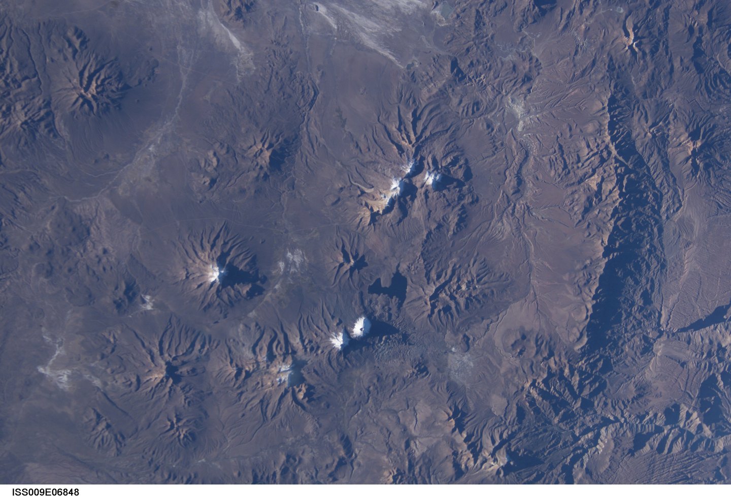
Geographic position and context of the Quimsachata complex
Guallatiri rises at the southwestern end of the Nevados de Quimsachata complex, a grouping of volcanic edifices close to the Chilean–Bolivian border. It belongs to the Chilean Altiplano, within the Arica and Parinacota region. It should be distinguished from Acotango, a neighboring volcano that shares the same high-plateau zone.
The northern and western flanks display thick lava flows recognizable in the surface morphology, evidence of effusive episodes that shaped the volcanic edifice throughout its geological history.
Dacitic dome and active conduit at the summit
The summit of Guallatiri is capped by a dacitic lava dome or complex. The active volcanic conduit is located on the south side of that summit complex, a position that distinguishes Guallatiri from other stratovolcanoes with a centered terminal crater.
The thick flows on the northern and western flanks represent eruptive phases distinct from the current stage. The superposition of these features — summit dome, active lateral conduit, flows on the northern and western flanks — constitutes a surface stratigraphy described in the record of the Guallatiri volcanic complex.
Fumarolic activity and sulfurous emissions
The Smithsonian Institution documents fumaroles and sulfurous gas emissions on the western flank of Guallatiri, as well as steam observed near the summit. This fumarolic activity is a manifestation of volcanic degassing, through which fluids and gases ascend through the edifice's fracture system and emerge at the surface.
Historical descriptions of minor eruptions since the nineteenth century form part of the volcanic record of Guallatiri, although the Smithsonian records them with a degree of uncertainty that prevents assigning definitive dates or magnitudes to them. The documented fumaroles and emissions constitute the activity most continuously recorded in available sources.