
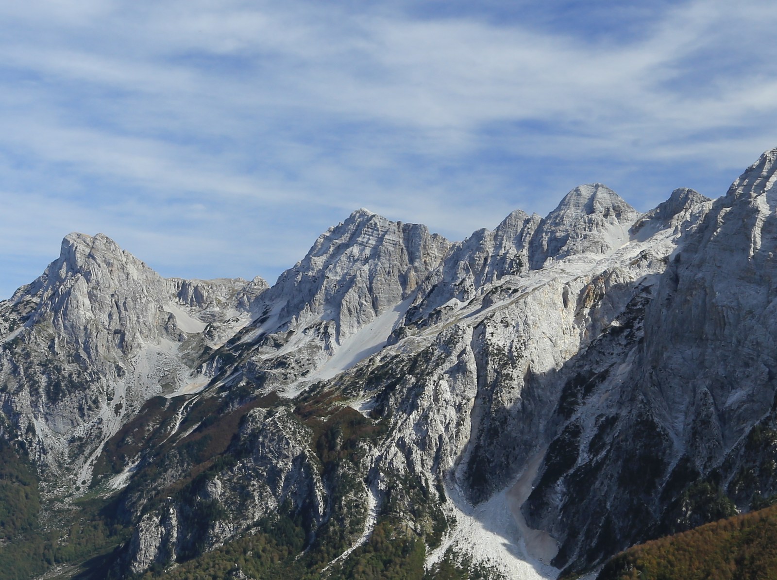
High Ridge and Summit Elevation
The northern slope of the upper ridge was steep and cut by cirques. Researchers placed the western high crest at 2,625 metres. A 2021 Polish speleological report listed Maja Ismet Sali Bruçaj separately at 2,521 metres.
Commemorative Plaque and Dual Naming
In January 1969 a winter mountaineering party placed a commemorative plaque bearing the name Maja Ismet Sali Bruçaj on the mountain then known locally as Maja Gryk e Hapt. A firsthand account published by the Tirana mountaineering association describes how a party of six discovered the plaque several metres down the slope ten months later and carried it back to its position. The association continued to use both names together in a 2026 report.
Stamenov Glacier
In 2016 Gachev, Stoyanov and Gikov described a small northeast-facing glacier named Stamenov in a deep hanging cirque beneath the eastern wall from 2,120 to 2,270 metres. The glacier had a rounded lower tongue and a moraine bounded it on three sides.