
Southern Glacial Geography
The southern route follows Dorfertal from Hinterbichl toward the upper snowfields. Two named glaciers occupy the high southern slopes, separated by a spur called Mullwitzaderl: Rainerkees, also documented as Inneres Mullwitzkees in Hohe Tauern National Park records, and the neighboring Äußeres Mullwitzkees. The route ascends Rainerkees to a saddle called Rainertörl, then continues along a firn ridge toward the summit.
First Southern Ascent
Bartlmä Steiner, a mineral collector from Prägraten, scouted a line over the southern glacier in 1843. The Hohe Tauern National Park attributes the first ascent from the south to Steiner and Prägraten chaplain Pater Valtiner in 1845. The first documented summit visit had taken place in 1841, approached from the Salzburg side.
Hut Construction and Later Development
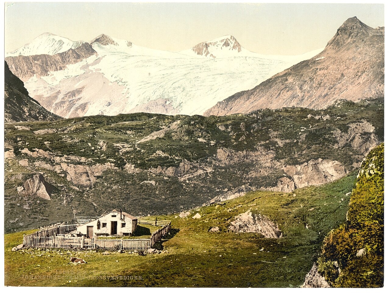
Friedrich Simony reached the summit in 1856 and secured funding from Archduke Johann for a mountain shelter. Johannishütte was built in 1857 as a masonry structure, and the German Alpine Club records that the original masonry building survives as part of the expanded refuge. Defreggerhaus, situated higher on the mountain at the Mullwitzaderl spur, was built by the Austrian Tourist Club's Vienna section and is dated by the Hohe Tauern National Park to 1887.