
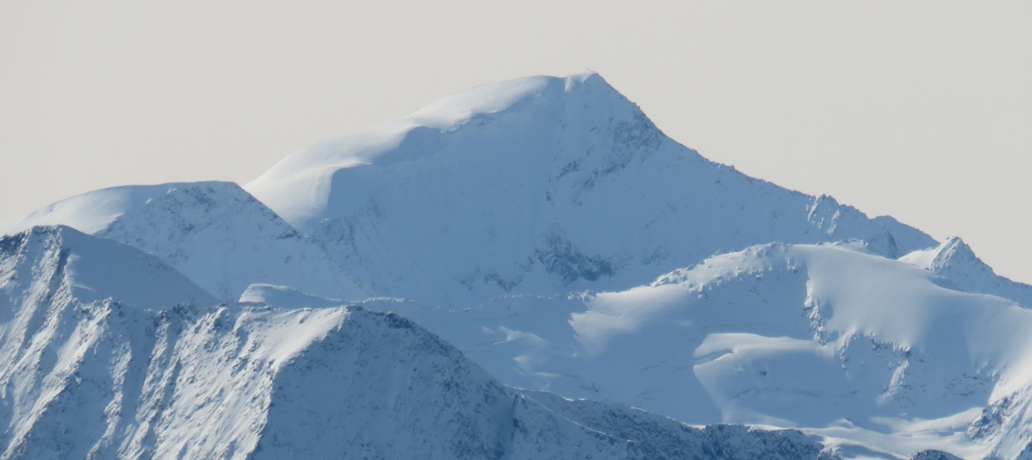
Two Landscapes on the North Side
The standard northern glacier approach from the Kürsingerhütte travels through the broad depression known as the Venediger-Nordmulde and crosses the Venedigerscharte, a route shaped by open snowfields and the gradual geometry of a high-alpine basin. Christian Dreyer's firsthand field notes from May 2004 describe a northeast flank line that rises near the north ridge, following its own character of snow and exposed rock in terrain clearly distinct from that wide northern basin. These two landscapes share the same high north side of the mountain but follow separate lines.
The photograph taken at Geißstein on 25 October 2020 was shot from a position to the north-northeast of Großvenediger, placing the peak central in the frame with Kleinvenediger to its left. In 2023 a DAV Rosenheim party reported seeing the north wall from Kleinvenediger.
Three Lines and a Winter Record
The northeast wall accumulated documented ascents across three separate summers, each by a different line. On 30 August 1923, Friedl Pfeiffer and Konrad Baumgartner climbed the Firnwand, the firn slope on the face. On 24 July 1932, Karl Fürst and Richard Redl took an ice couloir. On 29 July 1934, Rudolf Fraitzl, Max Jedlicka, and Hubert Peterka climbed the rock slab wall. Peterka's own chronological account, published in the Österreichische Alpenzeitung in 1936, noted that all three lines converged in the upper section at a prominent rock rib. Franz Malcher's 1938 Alpenverein yearbook corroborates this chronology on page 146.
The first winter ascent of the northeast face was recorded in the 1957 Swiss Alpine Club journal by Hans Hanke, who dated it to 26 February 1956. The climbers were Walter Bock of Neukirchen and S. Neumayr of Niedernsill. Hanke's account gives the wall height as 360 m and describes the cutting of hand-made steps in brittle black ice, a detail that fixes the character of conditions on that specific ascent in the historical record.
The Glacier Below as Historical Record
The Obersulzbach valley north of Großvenediger holds one of the Hohe Tauern's documented glacier retreat sequences. Nationalpark Hohe Tauern maintains an interpretive path at the forefield of Obersulzbachkees that marks stages of the glacier's retreat since 1850. The Austrian Alpine Club's glacier monitor records a cumulative length change of minus 2,154 m for Obersulzbachkees through the 2024/25 glaciological year, a figure representing the sum of published length observations accumulated across that monitoring series.
The 2024/25 Austrian Alpine Club glacier report noted that observations of the Geiger tongue of Obersulzbachkees were limited at that time to comparative photography. Photographic surveillance and direct measurement serve different roles in tracking glacier change: sequential images can reveal shifts in the visible extent and surface character of the ice across years, capturing features that may not be accessible to ground-based surveys, and measurement records independently document dimensional change over time. The valley glacier and the north face of the mountain above it belong to the same landscape but carry separate observational histories.