
From Heiligenblut to the Adlersruhe
Franz Xaver Graf von Salm-Reifferscheid organised the first expeditions from Heiligenblut. In 1799 the attempt ended at the Kleinglockner. A year later the group pushed further up via the Leitertal and the Adlersruhe. On 28 July 1800 five men reached the main summit. The expedition also brought a summit cross to the mountain. The national park describes in its cultural history how several participants prepared botanical and meteorological observations alongside the ascent.
Before the first attempt, Salm had a hut built on the approach. The early huts and the measuring instruments carried up show how much preparation was needed to work in this terrain for several days.
What the glacier surveyors observe on the Pasterze
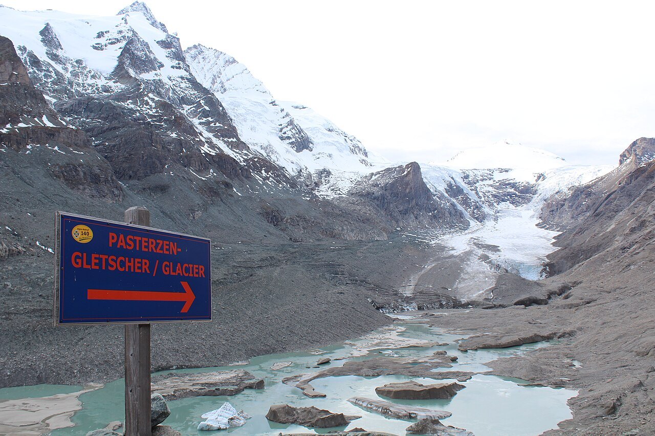
The Austrian Alpine Club measures the position of the Pasterze's glacier snout and records, among other things, changes in elevation and flow velocities. The position of the snout can also be traced on older maps. Comparing the Alpine Club maps from 1928, 1969, and 2006, its lower end retreats progressively up the valley.
Around 1850 the Pasterze extended as far as the Möll gorge. The view from the Franz-Josefs-Höhe therefore connects two stories. In the background stands the summit that the expeditions of around 1800 set out to reach. In the valley below, the former extent of the glacier can be compared against historical maps using more recent surveys.
How the glacier area came under protection
In 1918 the Villach businessman Albert Wirth donated to the Austrian Alpine Club an area that included the Pasterze and its surrounding terrain up to the summit. His aim was to preserve the landscape as a protected area. The Grossglockner–Pasterze area and the neighbouring Gamsgrube were designated as special protected areas in Carinthia in 1986.