
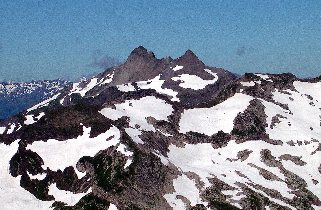
Geological Structure
The Historical Lexicon of Liechtenstein describes the Rätikon around the summit as an intensely folded sedimentary mass belonging to the Falknis nappe, thrust over the southern flysch zone across the broader region.
Place Name and the Lawena Pastures
The municipality of Triesen's place-name book records an early seventeenth-century form Gràuenspicz for the summit and locates Vorder Grauspitz above Alp Lawena, an alpine pasture below the peak. The Historical Lexicon of Liechtenstein documents the Lawena lease by 1778. Up to 1873 the tenants came from neighboring Swiss communities, after which the lease passed to tenants from Triesen.
Border Position and Summit Pair
The summit sits on the Liechtenstein–Switzerland border ridge. Seen from the east, Vorder Grauspitz appears on the left and Hinter Grauspitz on the right as two clearly separated peaks.