
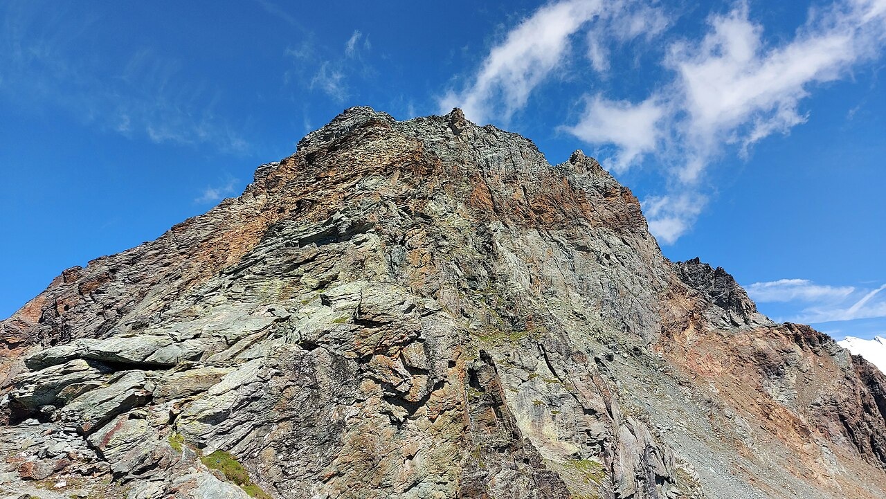
Twin Summits and Ridge Geology
The north summit of Grand Tournalin reaches 3,379 m, a figure consistent across CAI records from 1886 to the present. The ridge separates two local valleys. The regional technical map of the Aosta Valley, drawn at a 10-metre contour interval, shows two adjacent summit landforms. The higher northern point and a slightly lower southwestern top are separated by a sharp notch marking a clear topographic break. Monte Rosa and the Matterhorn are both visible from the crest.
Geological field mapping published in 2020 documents the Gran Sometta–Tournalin ridge as a zone where Alpine rocks of distinct metamorphic grades are juxtaposed along the Combin extensional fault zone. The mapped assemblages include greenschist-facies rocks alongside eclogitic rocks formed at higher pressure, reflecting contrasting burial histories across the wider ridge.
The 1863 Ascent of the North Top
On 8 August 1863, Edward Whymper and guide Jean-Antoine Carrel climbed Grand Tournalin together. As Whymper documented in his memoir and in a signed account reproduced by the CAI, the pair saw chamois moving over the crest before they reached what they took to be the highest point. On gaining that lower summit, they discovered a cleft ahead leading to a higher northern top. The chamois had scattered. They crossed to the north top and built a prominent cairn there. Whymper reported the ascent as the first known climb of the highest point and described a panoramic view from the summit.
In his account of the 1863 ascent, Whymper described the panorama from the summit as one that rewarded the climber with broad views combining a clear foreground and distant landmarks. The scale of the visible foreground made the panorama memorable. The dramatic distant peaks across the horizon deepened that impression. He noted Mount Viso as a distinct point to the south beyond the Graian peaks, the Matterhorn as conspicuous to the north-northwest, and Monte Rosa visible across Val d'Ayas to the east-northeast.
Photography, Pastures, and the 1871 Trail
In 1868, Canon Georges Carrel — a different figure from guide Jean-Antoine — photographed the panorama from the lower southwestern top. According to Whymper's account, Canon Carrel had the large cairn the 1863 party built on the north summit removed because it appeared in the frame and obstructed his view. The 1876 CAI bulletin describes the Cheneil landscape of that era in terms of high pastures, dairies, and a path that local residents had built for livestock moving to the upper Aran pastures.
The CAI's Aosta Valley chapter records that in 1871 a commemorative trail was constructed from the Aran pastures toward the mountain, the year after Canon Georges Carrel's death. A monument erected in 1876 near Gouffre des Busserailles, described according to its historic inscription in a CAI Aosta Valley source, honours his scientific and mountaineering work and names both Grand Tournalin and the Cervin among the peaks associated with his legacy. A separate 1876 Italian Alpine Club bulletin records livestock pastures in the same area.