
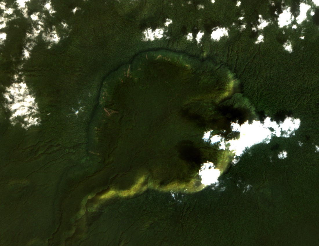
Summit Caldera and Rim Topography
The summit caldera measures 5.5 kilometres across, making it one of the most expansive collapse features in the Gulf of Guinea. A valley cutting through the southwestern rim opens a natural drainage corridor toward the Atlantic, shaping the local hydrology of the upper slopes. The caldera floor and inner walls preserve a record of the volcano's constructional and collapse history within a compact elevated terrain.
Rift Alignment with Pico Biaó
A 2024 TanDEM-X topographic study published in the Bulletin of Volcanology identifies a structural saddle and rift alignment connecting Gran Caldera de Luba with Pico Biaó to the east. The two edifices are distinct volcanic constructs, and the mapping uses surface fissures and edifice morphology to interpret their geometric relationship and possible coalescence through shared eruptive activity.
Biosphere Reserve and Forest Habitats
Gran Caldera de Luba sits within the Luba Caldera Scientific Reserve, itself part of the broader UNESCO Isla de Bioko Biosphere Reserve. The protected landscape spans lowland rainforest on the coastal and mid-elevation flanks and high-altitude montane forest near the caldera rim, conserving two ecologically distinct habitat types that UNESCO recognises as central to the reserve's biological significance.