
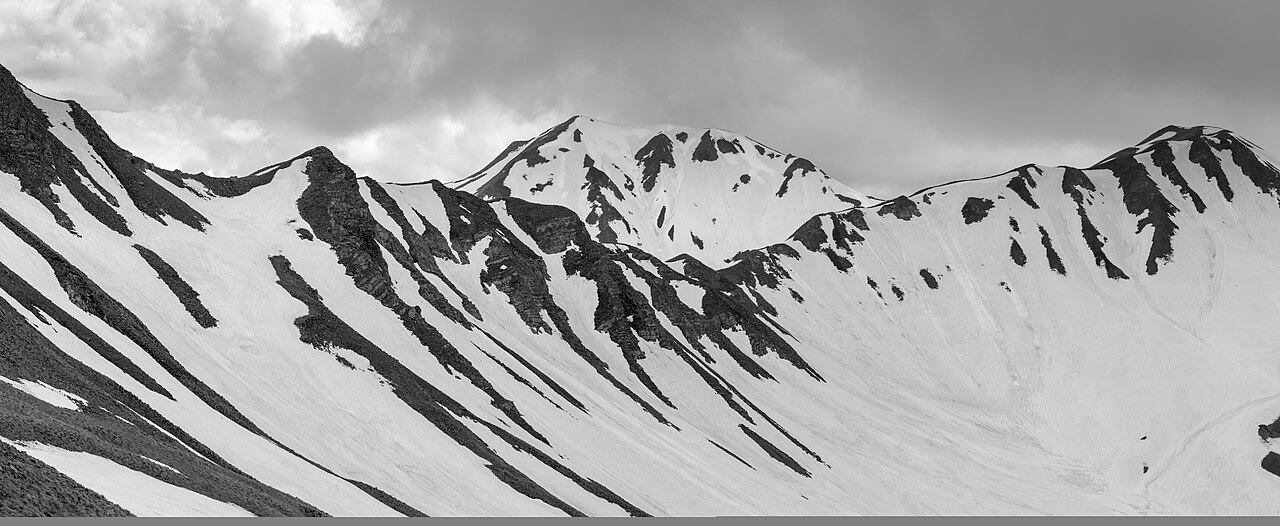
Geology and Landforms
The Grammos Trails geographical survey describes lower elevations across the massif as flysch, where sandstone alternates with finer sediment. The upper zone transitions to greenstones and ophiolites. The Gramosta Gorge is a limestone formation where flowing water erodes and dissolves the carbonate rock, shaping its walls over time.
Civil War History and Commemoration
The European Green Belt identifies Grammos as an area of some of the final fighting of the Greek Civil War in 1948–1949. A 1960 mountaineering account preserved in a historical repository described traces of that conflict near the 2,520 m summit. A National Reconciliation Park within the massif runs exhibitions on both history and the environment.
Ridge and Cross-Border Extent
The main ridge of Grammos runs southwest–northeast along a stretch of the Greece–Albania border. Mavri Petra and Tsouka Petsik are named points along this ridge. Perifano is another named summit in the central part of the massif. Waters from the southern and eastern slopes join the Sarantaporo, while northern streams feed the Aliakmon.