
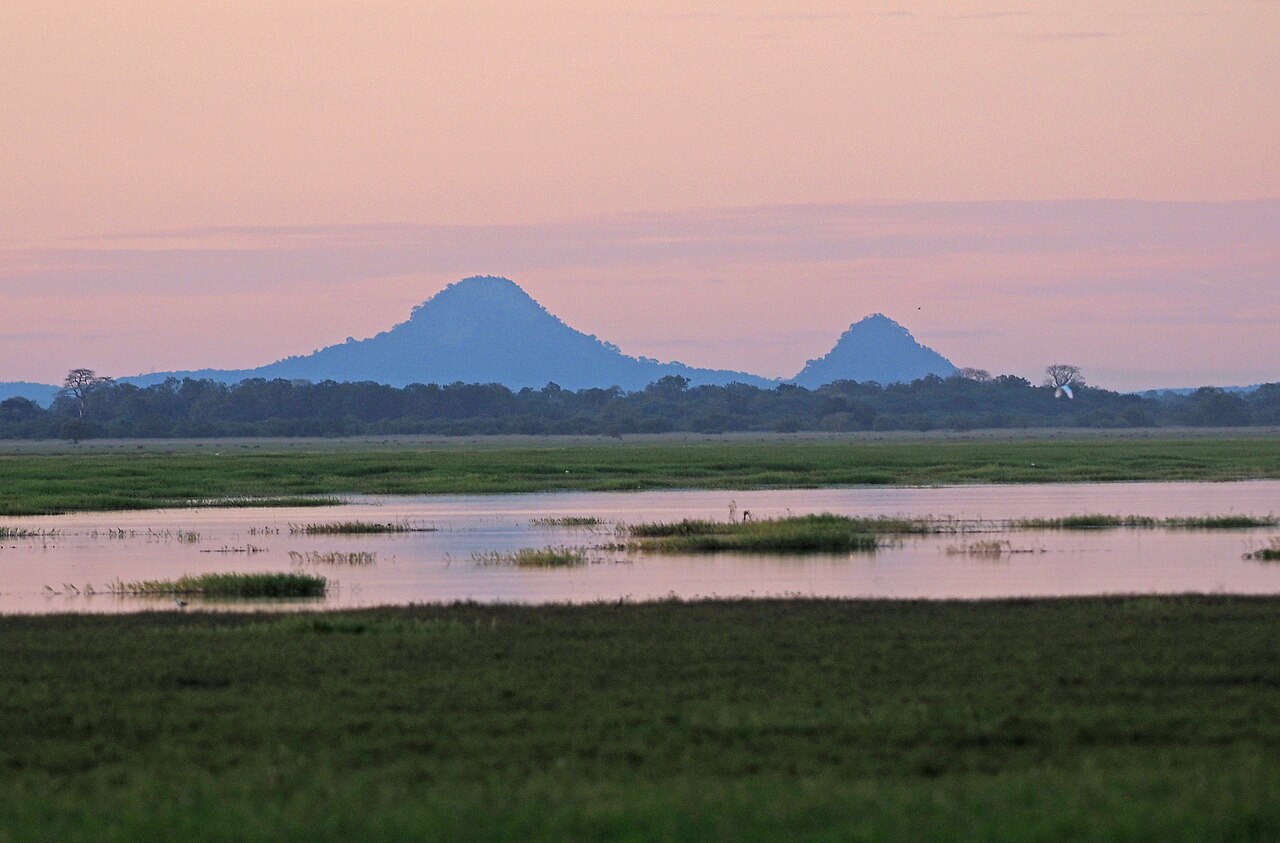
Morphology and Landscape
Extending approximately 30 kilometres in length by 20 in width, the Serra da Gorongosa is a massif of considerable size by Mozambican standards. Its mass rises in isolation above the Rift Valley landscape, creating a sharp contrast between the steep slopes and the plains stretching around it. This topographic isolation is analogous, in ecological terms, to that of a continental island — the massif functions as a refuge for species that do not persist in the surrounding lower, hotter zones.
The altitudinal gradient of the range supports a succession of vegetation zones: open miombo woodland at lower elevations gives way to evergreen montane forests and, at higher altitudes, to grasslands and gramineous formations. This diversity of habitats within a relatively short distance is one of the most striking features of the massif and underlies its classification as a Key Biodiversity Area.
Hydrology and Ecosystem Function
Gorongosa National Park identifies the mountain as an essential hydrological component of the system: rainfall captured by the high-altitude forests feeds springs and rivers that drain into the park's plains, sustaining the wetlands and alluvial beds that concentrate the wildlife that made Gorongosa internationally known. The formal incorporation of the massif into the park's perimeter, which occurred in 2010, reflected recognition of this functional interdependence between the mountain and the lowland ecosystems.
Before 2010, the massif and the lowland park had distinct administrative statuses, and scientific literature produced before that date frequently treats them separately. This historical distinction is relevant to correctly interpreting long-term studies on the fauna and flora of the region — not all information published under the name "Gorongosa" refers specifically to the mountain massif.
Afromontane Environment and Scientific Expeditions
The afromontane environment of the Serra da Gorongosa has been the subject of scientific expeditions documented by the park, which describe the discovery of species and records new to science in the upper tiers of the massif. Field expeditions have characterised the massif as a system where research is still ongoing — the accumulated knowledge of the flora and fauna of Gogogo and its slopes is considered incomplete, and available reports avoid presenting existing inventories as definitive.
This scientific openness is consistent with the nature of the isolated afromontane environment: cloud forests and high-altitude vegetation formations frequently shelter species of restricted distribution whose survey requires multiple campaigns across different seasons. Published data on the massif's biodiversity should be read as snapshots of an ongoing process of discovery, not as a closed catalogue.
Integration into the National Park
The history of Gorongosa National Park is marked by decades of disruption associated with the armed conflict that affected Mozambique from the late 1970s until 1992, followed by a recovery process that has been monitored by researchers from several international institutions. The mountain, integrated into the park in 2010, represents a component of that broader process. Research published by the park highlights the study opportunities that the massif offers precisely because it combines relative accessibility with an afromontane environment that remains little studied compared with better-known mountain ranges in East Africa.
The range thus positions itself as a subject of study of simultaneous interest to conservation ecology, regional biogeography, and applied hydrology — three dimensions that its formal inclusion in the park has helped to integrate into a single territorial management strategy.