
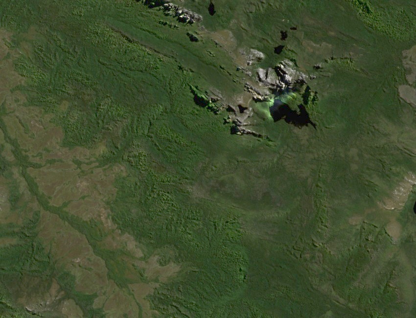
A Quartzite Spur Below Geeves Bluff
Mineral Resources Tasmania’s survey identified Cambrian folds near Geeves Bluff that were folded again in the Devonian. Hard quartzite forms the exposed rock bands of the wider range above the green valleys. Near Hanging Lake, a moraine ridge records a much later event. Ice carried loose rock and sediment into the basin and left them there as it retreated.
Two Expeditions from the Old River
Robert Tanner’s silent film records the 1953–54 expedition he made with Paul Connolly and Mark Smith. They reached the Old River valley, then turned back after injuries. In January 1987, David Noble and Tony Norman came from the Norold Range, crossed the Old River country and climbed Gorilla Ridge to Geeves Bluff. Noble photographed Hanging Lake and Federation Peak from the top of the ridge. The pair climbed Federation Peak later that day.
A World Heritage Cultural Landscape
The Eastern Arthur Range lies within the Tasmanian Wilderness World Heritage Area, first listed in 1982. Rock shelters and stone artefacts document long Aboriginal occupation of southwest Tasmania. The region is part of the living Country of Tasmanian Aboriginal people. At nearby Hanging Lake, the park service directs walkers around an old trail on the moraine crest while the vegetation recovers.