
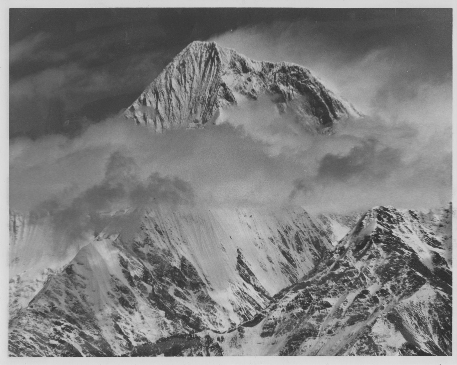
Fixing the Elevation and the History of the Name
The elevation of Gongga Shan has undergone revision in geographical literature. In 2023, the National Forestry and Grassland Administration and the Ministry of Natural Resources jointly published a new surveyed elevation of 7,508.9 m, based on modern geodetic techniques, formally replacing the two figures of 7,556 m and 7,590 m that had long circulated in parallel. When consulting historical documents, it must be kept in mind that all earlier versions reflect the measurement conditions of their time and are not on the same datum as the current authoritative figure.
Regarding the name: 贡嘎山 is the standard contemporary Chinese name; 岷雅贡嘎 appears in earlier Chinese documents; and the English name "Minya Konka" is a romanization from Tibetan. All three refer to the same peak. Some index catalogues contain duplicate entries; geographical coordinates should be used to distinguish them and to avoid confusion with other peaks in Garzê Prefecture that carry similar romanizations.
Landform Pattern and Vertical Relief
Gongga Shan stands at the core of the Hengduan mountain system, rising abruptly from the surrounding valleys to produce an enormous relative height difference. Both the western and eastern slopes exhibit dramatic relief. Glaciers are distributed on the eastern flank, the most representative being the Hailuogou Glacier, whose tongue extends from high altitudes down into lower-elevation valley forest, forming a rare vertical landscape where ice and snow coexist with subtropical vegetation.
The climatic conditions in the high-altitude zone of Garzê Prefecture have produced a complete mountain ecological gradient around Gongga Shan, ranging from alpine tundra to broadleaf valley forest in clearly defined layers. For detailed geomorphological and ecological information related to the glaciers, the official Gongga Shan Nature Reserve materials are the primary authoritative source; for any specific glacier parameters, the official announcements of the nature reserve should be treated as definitive.
History of Climbing
Mountaineering expeditions to Gongga Shan date to the first half of the twentieth century, when Western expeditions introduced the name "Minya Konka" into international mountain literature. Due to its precipitous terrain, extreme climate, and remote location, the difficulty of climbing Gongga Shan is widely regarded as among the highest for peaks in its elevation class. Garzê Tibetan Autonomous Prefecture, as the administering authority, is responsible for regulating activities in the mountain area; relevant policies should be confirmed through official announcements.
Nature Reserve Framework and Regional Context
Gongga Shan is incorporated into the high-altitude conservation and management system of Garzê, and announcements from the National Forestry and Grassland Administration have established its position within the nature reserve structure. As the landmark peak of the transitional zone between the eastern edge of the Qinghai-Tibet Plateau and the Sichuan Basin, Gongga Shan geographically links the two regions, and its existence provides an important reference for understanding the tectonic evolution and biodiversity patterns of the Hengduan Mountains.