
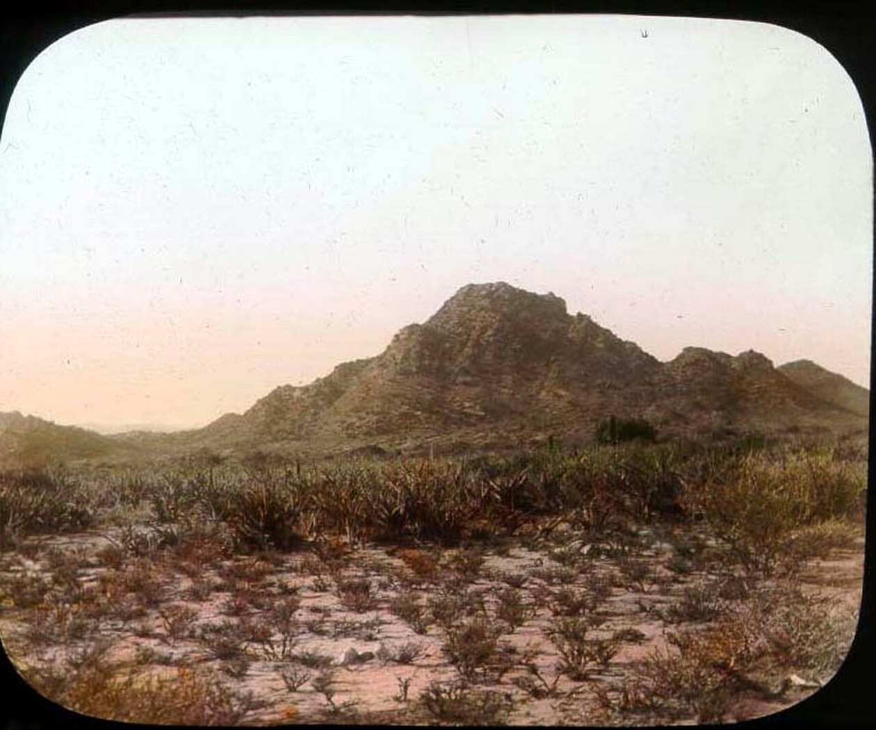
Steep Northern Scarps and the Ogo Plateau
IGAD and IUCN surveys describe the Golis as a system of steep northern faces dropping toward the Guban, with the highland interior sloping more gradually southward as the Ogo plateau. The 2010 IUCN field survey documented this asymmetric topography across the range, noting how the compressed northern gradient gives way to open plateau terrain that shapes drainage patterns and land use across the region.
Relict Juniper Stands and High-Elevation Vegetation
FAO SWALIM forest monitoring identifies relict stands of Juniperus procera alongside patchy scrub as the dominant woody vegetation at higher elevations in the Golis highlands. These populations represent remnants of a once more continuous Afromontane cover. FAO land-cover observations in the northern Golis highlands use combined ground and satellite data to track changes in this vegetation across seasonal and interannual cycles.
Ga'an Libah and Daallo as Distinct Cliff Landscapes
Within the broader Golis escarpment, Ga'an Libah and Daallo present individual cliff landscapes with their own terrain characters rather than forming a uniform cliff face across the range. The 2010 IUCN field survey, published in the 2015 IUCN landscape assessment report, treated these areas separately in its site-level documentation, reflecting differences in scarp exposure, rock face structure, and local vegetation conditions.