
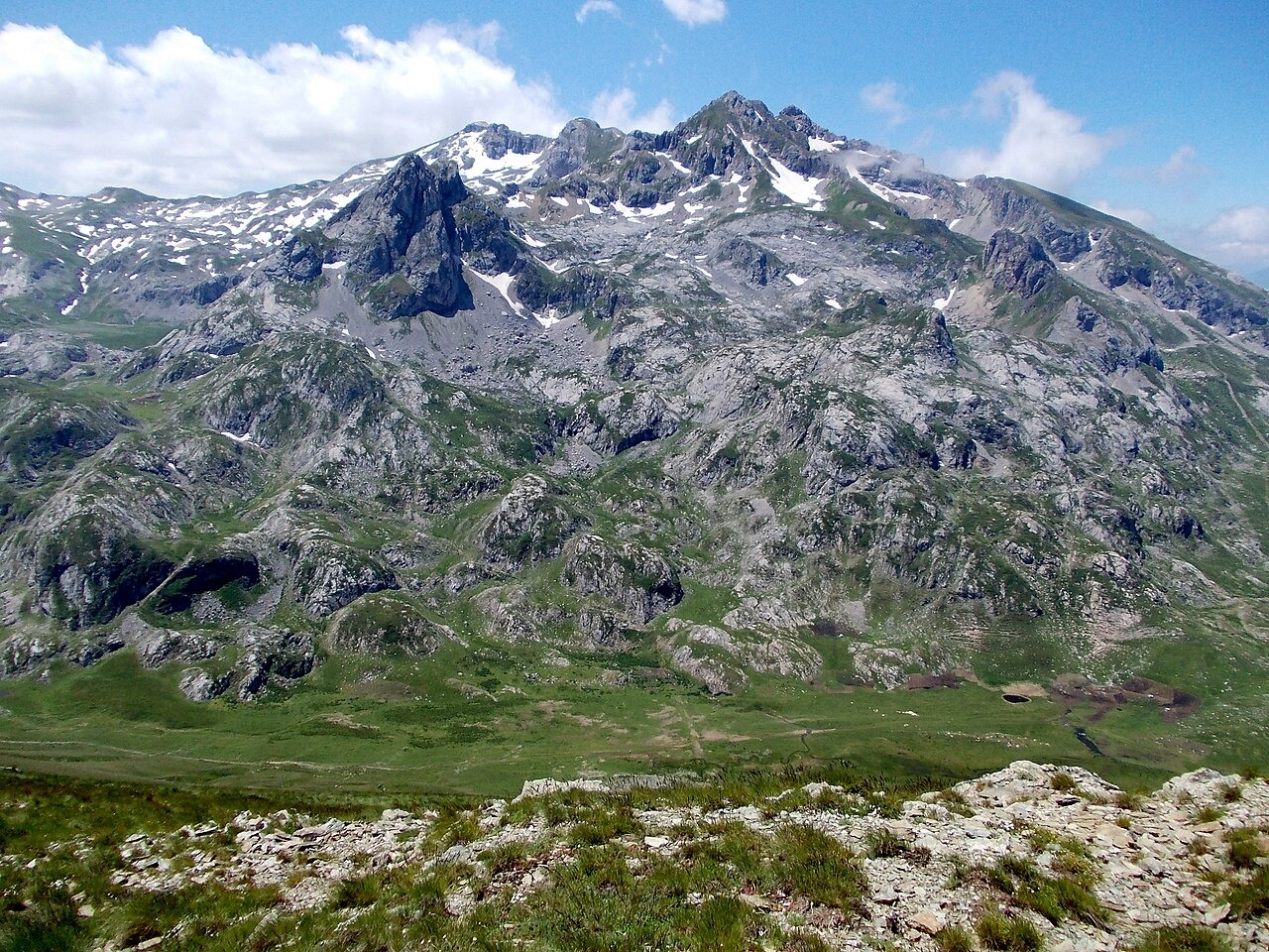
Rock, Ice, and Landform
Paleozoic schist occurs in the massif's lower rock units, while Mesozoic limestone forms its high peaks, a distinction documented in field inventory work for the area. Pleistocene glaciers once covered the upper terrain and left behind cirques and moraines that still define the mountain's form. On the North Macedonian side, the high broad area called Kobilino Pole, documented by Željko Poljak as a meadow with a winding stream, lies within this terrain.
Protected Landscapes on Two Sides
Mavrovo National Park, on the North Macedonian flank of the massif, was originally established as a forest park in 1949. Albania's Korab–Koritnik Natural Park covers the western slopes and underwent a boundary revision in 2022. Both protected areas encompass alpine grasslands and exposed crags at the upper elevations of the massif, though they carry distinct national designations and conservation categories.
A Recorded Ascent in 1961
Croatian mountaineer Željko Poljak published a first-person account in the Croatian Mountaineering Association magazine in 2005 describing his party's ascent on 1 July 1961. His account records crossing flower meadows and encountering herders before reaching the border marker at the summit. Crossing the mountain at the time involved navigating border controls between Yugoslavia and Albania.