
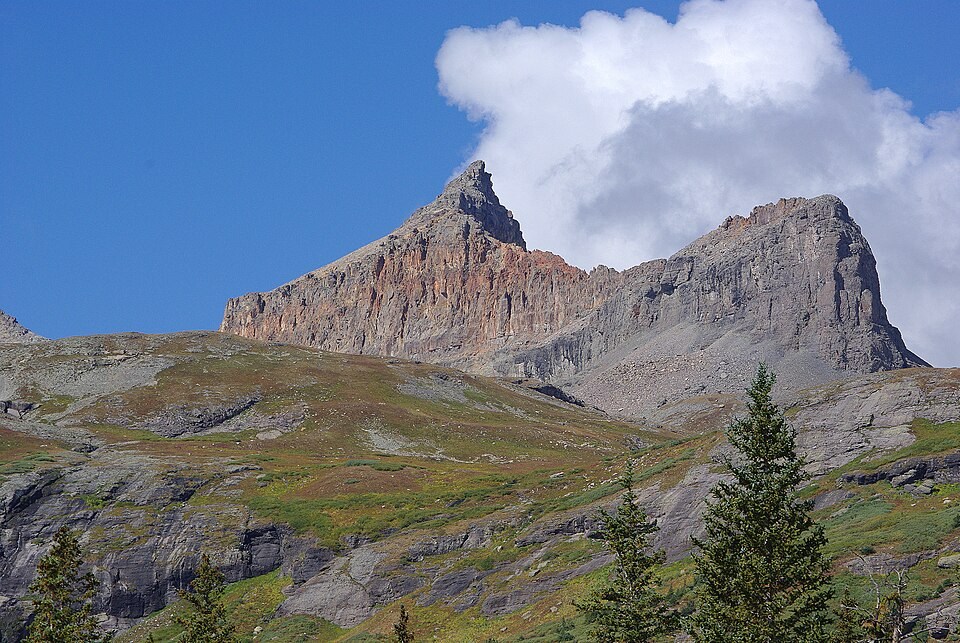
Geological Character and Historic Classification
The USGS Telluride geological folio placed Golden Horn among brilliantly coloured summits in the San Juan volcanic field, associating it with what the folio called the Potosi rhyolite series. That name identifies a mapped volcanic unit, while the folio separately noted the vivid colours of the summits in this area. Nearby ridges expose layers of lava flows and pyroclastic material, consistent with the San Juan Mountains' origin as a multi-phase volcanic province.
Summit Identity and Ridge Geometry
The 1955 USGS Ophir quadrangle labels Golden Horn as an individual summit, separated from Vermilion Peak to its southwest by a mapped saddle. From the Ice Lake Basin below, the summit's shoulders and that saddle are visible as distinct features, distinguishing the mapped crest from the lower spurs draining into the basin. The Colorado Mountain Club groups Golden Horn with Vermilion, Fuller, and Beattie peaks as distinct summits on the same high ridge.
Basin Relationship and Surveyed Elevation
Golden Horn forms the high skyline to the southwest of Ice Lake, where the summit's mapped shoulder descends toward the basin on its north and east sides. Modern lidar measurements place the peak near 4,200 metres, a figure broadly consistent with mid-century contour interpolations while reflecting the precision that digital elevation datasets now provide.