
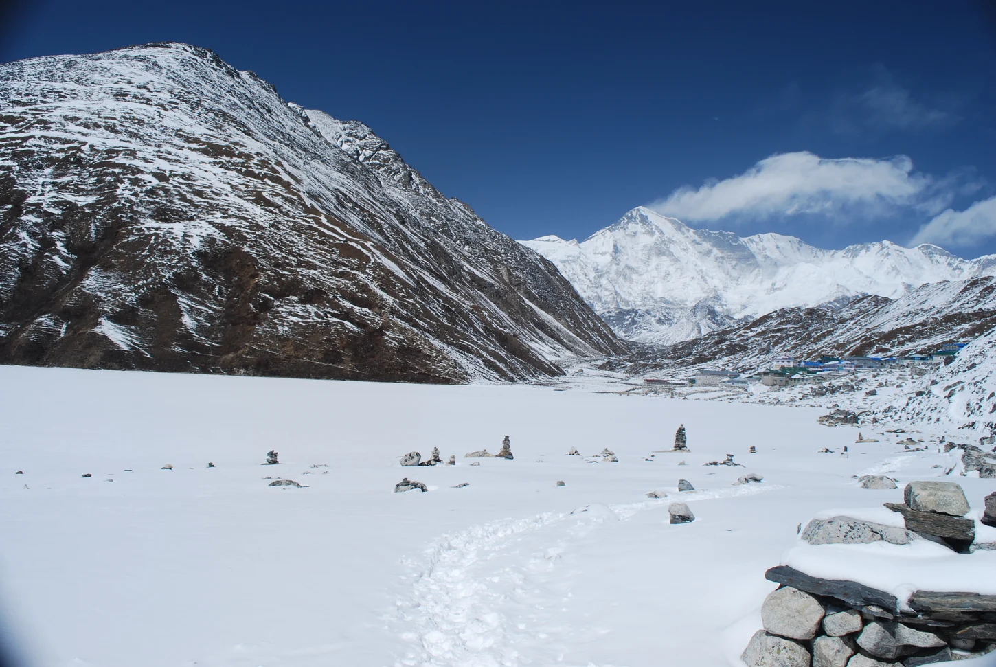
Ridge Views Over Ngozumpa Glacier
From the summit ridge, Cho Oyu, Everest, Lhotse, and Makalu are visible across the Ngozumpa Glacier occupying the valley floor below Gokyo Ri. The Gokyo lake chain extends through the valley beneath the ridge, its shorelines shaped by terminal and lateral moraines deposited along the edges of the Ngozumpa ice mass.
Ramsar Lakes and Janai Purnima Pilgrimages
The Gokyo and Associated Lakes system received Ramsar wetland designation on 23 September 2007 within Sagarmatha National Park. Ramsar documentation describes the lakes as ice- and rain-fed wetlands. The lakes are considered sacred by Hindu and Buddhist communities, and Ramsar records document Janai Purnima pilgrimages to the lake chain.
Gokyo Settlement and Valley Approach
The Gokyo settlement sits at the edge of the lake chain in the upper Gokyo Valley within Sagarmatha National Park. Trekkers traveling through the Dudh Koshi valley system on a western route reach the settlement before ascending to Gokyo Ri's ridge summit at 5,357 metres above the glacially formed valley floor.