
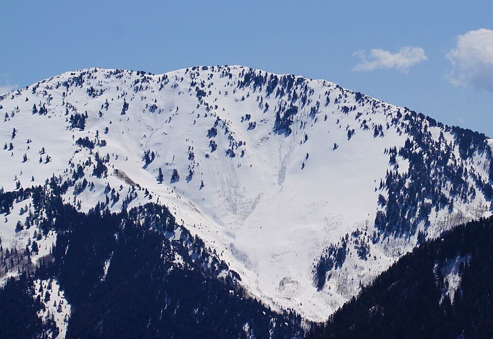
Two Summit Points on a Single Ridge
The geology field guide identifies both Gobblers Knob, at 10,246 feet, and Mount Raymond along the skyline above Big Cottonwood Canyon. The two peaks occupy the same ridge system, with Gobblers Knob positioned northeast of Mount Raymond and a saddle marking the gap between them. A separate Utah peak in San Juan County shares the name; the Wasatch summit is the one recorded in federal coordinates under Salt Lake County.
The 1964 Name Decision and the 1965 Geologic Map
The Board on Geographic Names decision in 1964 placed Gobblers Knob in the federal geographic record. The following year, the USGS published the geologic map of the Mount Aire quadrangle, which covers the same terrain. These represent two distinct types of evidence. The BGN decision establishes the official place name, while the 1965 map documents the geological interpretation of the ridge, recording a thrust structure and glacial deposits at lower elevations.
What Topographic and Geologic Maps Each Show
Topographic contours describe the shape of the land surface — the summit elevation, the depth of the separating saddle, and the slope angles on either side. The 1965 geologic map of the Mount Aire quadrangle adds a layer of interpretation by recording a thrust structure on the ridge and glacial deposits descending into the basins below, information that contour lines alone cannot convey.