
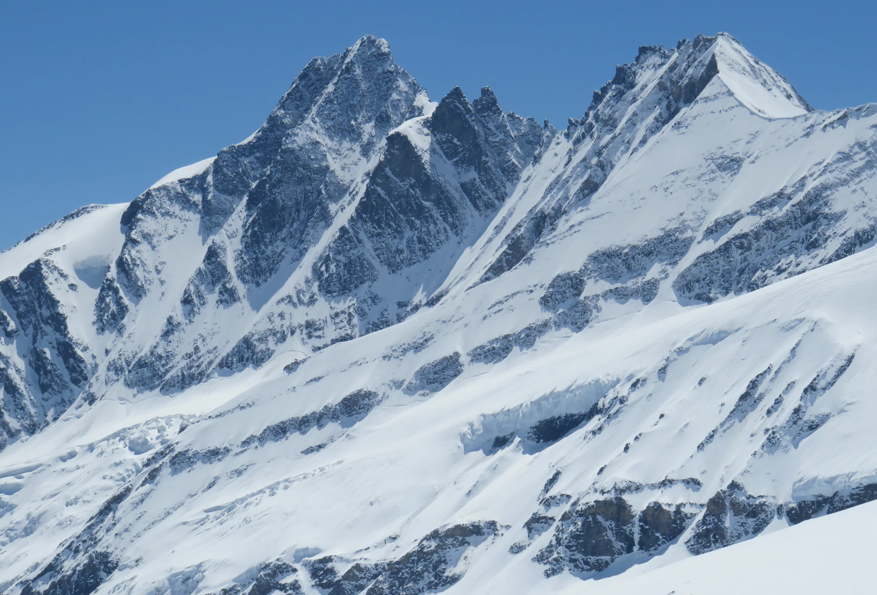
Two towers on the ridge
The 1:25,000 Alpine Club map marks Glocknerhorn at 3,680 metres and Teufelshorn at 3,677 metres. In the order documented by the Kals mountain guides, the ridge from the Untere Glocknerscharte passes over Teufelshorn and then Glocknerhorn before reaching Großglockner at 3,798 metres.
The Glocknerkees lies below the north side and the Teischnitzkees below the southwest side. In the cover photograph, Glocknerhorn is the left of the two central rock towers. The larger summit rising farther left is Großglockner.
The two attempts of 1879
In July 1879, Gustav Gröger and the guide Christian Ranggetiner turned back below Teufelshorn during an attempt on the northwest ridge. They returned on 29 August. According to Fritz Schmitt’s Alpine Club chronicle, Ranggetiner cut more than 400 steps in the ice before they gained the ridge above Glocknerhorn.
Willi Welzenbach’s 1928 account reports that the pair stepped onto Glocknerhorn before continuing to the summit of Großglockner. He described the two towers separately. In his account, the elevations were 3,677 metres for Glocknerhorn and 3,673 metres for Teufelshorn.
The tower as a training ground
An Austrian Alpine Club newsletter from 1959 described a mountain-guide training traverse from Teufelshorn over the tower it called Glocknerturm and onwards to Großglockner. The modern guides’ account names Glocknerhorn at that point in the traverse. The trainees descended towards the Hofmannshütte via the glacier of the same name.
Rocks from the ocean floor
In its geology guide, Hohe Tauern National Park describes rocks from an ancient ocean floor in the wider Glockner massif. Heat and pressure during the formation of the Alps altered these rocks into varieties including prasinite and metagabbro.