
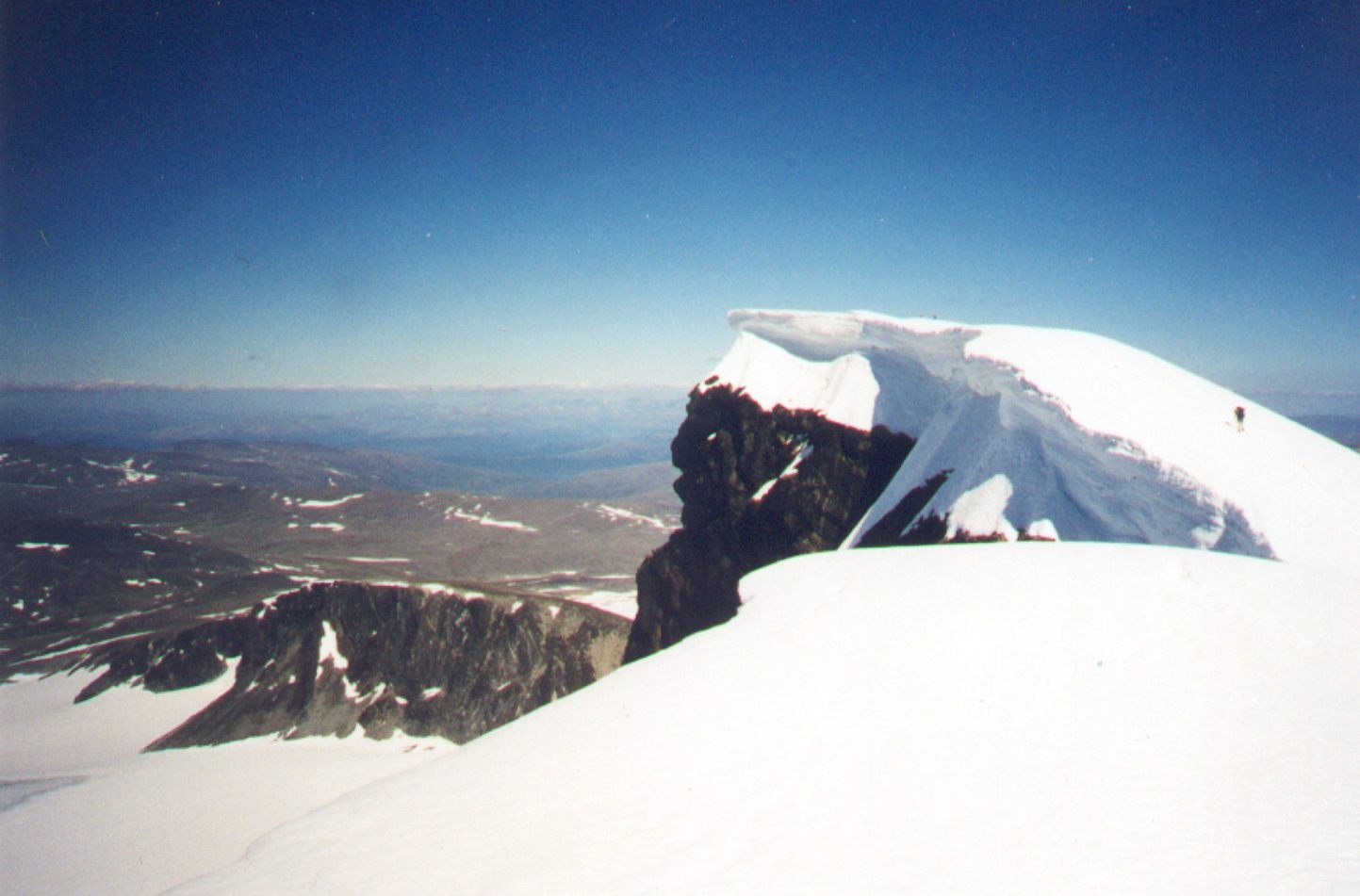
What the 2020 Survey Found
On 17 September 2020, surveyors recorded the highest ice surface at 2,452.1 metres and exposed bedrock on the north side at 2,451.7 metres. Both values round to 2,452 metres, so the summit elevation holds whether taken at ice or rock.
Drilling Into the Ice Cap
Radar and drilling examined the shape and thickness of the summit ice. At one drill site, located away from the summit measurement points, the ice was approximately two metres thick.
A Century of Visual Change
The Norwegian Water Resources and Energy Directorate compared the 2020 survey to a photograph taken by Anders Beer Wilse in 1910. That image shows a substantially larger summit ice cap than the conditions the 2020 team documented.