
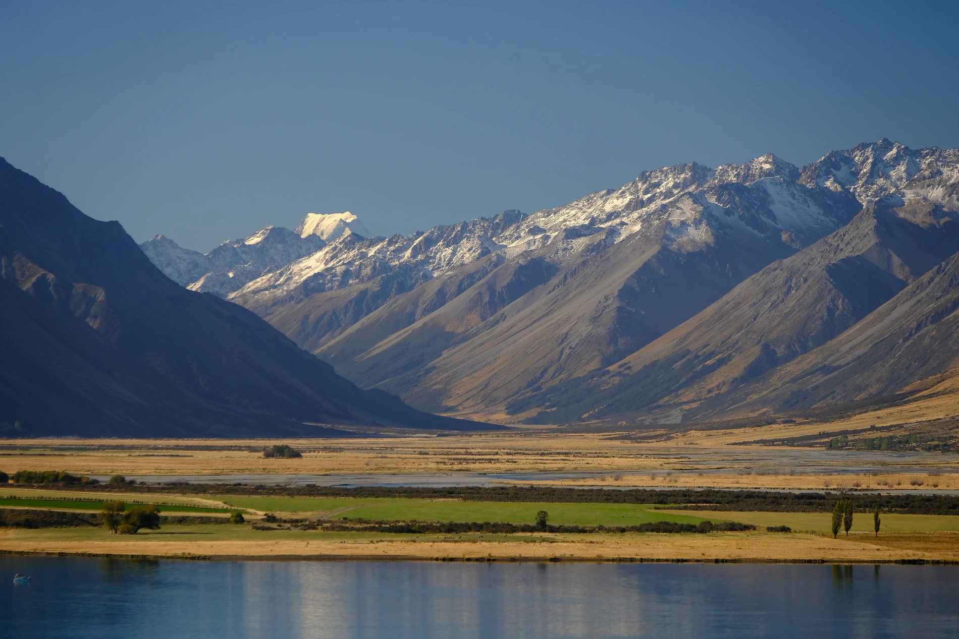
Landform and Setting
Fins of red greywacke project from the southeast ridge between Glentanner and Ferintosh peaks. A narrow gully on Glentanner’s north face often holds snow. In the Tasman Valley near Glentanner Station, a field study published in 1940–41 traced layers of glacial gravel between Fred’s Creek and Jack’s Creek.
In Francis Vallance’s photograph of 30 March 2024, Glentanner is at the far right of the skyline. Steep slopes descend to the broad valley floor below the range.
Station History and the Name
The peak takes its name from the pastoral station below it. Surveyor John Baker recalled that the Dark brothers took up the run in 1858 and named it after the ship that had brought them to Lyttelton. In 1913 the run was divided into Glentanner, Ferintosh and Birch Hill.
People at Glentanner and Glen Lyon stations called the two peaks above them the Twins for about 70 years, according to the New Zealand Geographic Board. Glentanner Peak and Ferintosh Peak became official names in 1992.
Climbing History
The New Zealand Alpine Club documents a traverse of the southeast ridge from Ferintosh and a line through the gully on Glentanner’s north face. Its record credits the north-face route to Ross Cullen in April 1992.