
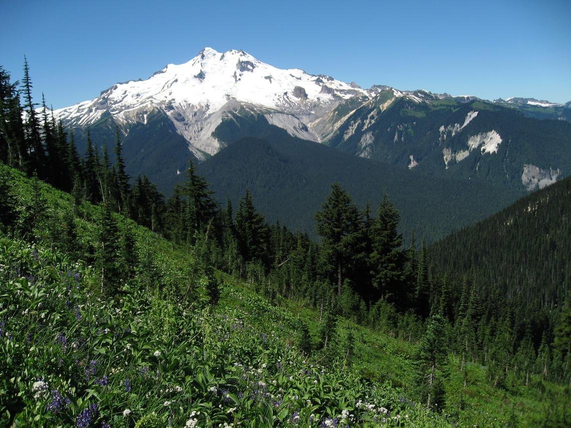
A Volcano Built and Shaped by Ice-Age Forces
Disappointment Peak, the dacite dome south of the present summit, represents an older stage of the volcano's construction. USGS mapping interprets it as predating the late ice-age eruptions, and its exposed flanks offer geologists a point of comparison between deposits found near the cone and sediment carried far downstream into river valleys. That relationship, readable in erosional cross sections, forms the basis of how scientists have reconstructed the mountain's eruptive sequence.
As ice-age glaciers retreated roughly 13,000 years ago, a sequence of six explosive eruptions dispersed tephra broadly across the region. The heat and force of those eruptions, combined with unstable mixes of ice and volcanic material, generated lahars that inundated the White Chuck, Suiattle, and Sauk river valleys during that extended period of activity.
More Recent Episodes and Their Downstream Reach
Two later episodes, occurring approximately 2,000 and 1,100 years ago, left their own marks on the landscape. Pyroclastic deposits from these events are preserved near the cone, while lahar deposits appear farther downstream. White Chuck deposits from the younger of the two episodes extended at least 30 kilometres downstream.
Erosional exposures in the surrounding valleys allow direct comparison with material near the summit, letting geologists trace the downstream fate of individual eruption events and work out the timing and volume of each.
Reading the Record in Rock and Sediment
USGS sources give the summit elevation as either 3,213 or 3,214 metres. The mountain is composed chiefly of dacite, and the layered sedimentary record preserved in adjacent valleys, read alongside deposits near the cone, provides geologists with a detailed stratigraphic archive of the volcano's activity across multiple eruptive periods.