
Location and Names
The summit known in Albanian as Gjeravicë and in Serbian as Đeravica lies within Bjeshkët e Nemuna National Park, established by law in December 2012.
Glacial Landscape
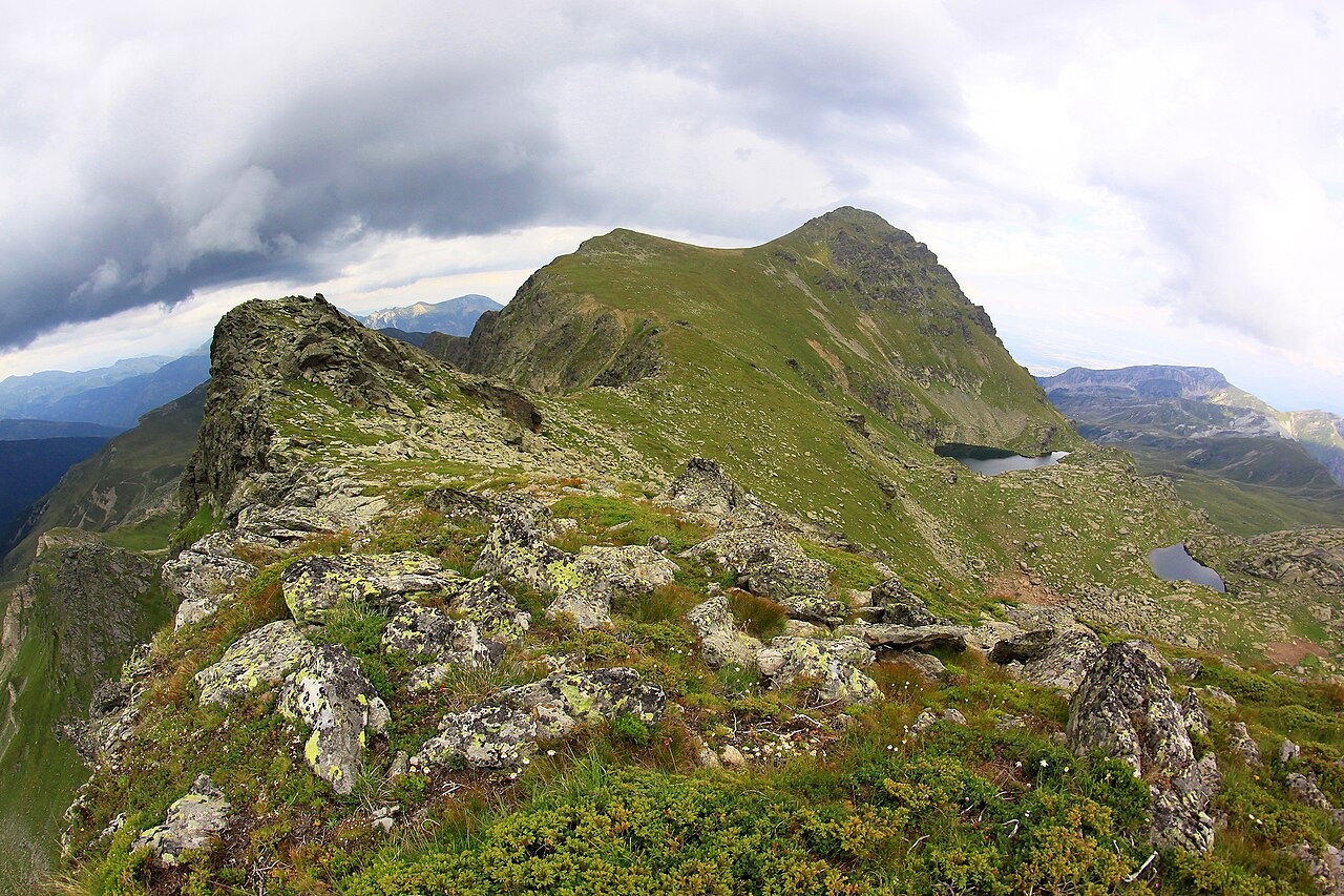
Park mapping documents Pleistocene glacial features across the range, including cirques, glacial valleys, and moraines. A hydrogeology study of Bjeshkët e Nemuna names a distinct Gjeravica group of glacial lakes on the slopes below the summit. When glaciers retreated, they left hollowed basins in the rock. Those basins collected meltwater and rainfall to form the lakes present today.
Lichen Research on the Summit Slopes
A 2012 field expedition sampled an east-facing ridge southeast of the Gjeravica summit, with a station at approximately 2,450 m on open grassland over siliceous soil and among siliceous boulders. The findings were published in 2015 in Herzogia, cataloguing lichens and lichenicolous fungi — organisms that live on lichens. The paper draws on a wider survey across Kosovo and Montenegro.