
Clement Gillman's 1921 Climb and 1923 Geographical Journal Account
Clement Gillman, a geographer working in East Africa, made his ascent of Kibo in 1921 and published a detailed account with maps in the Geographical Journal in 1923. That publication established a documented record of the eastern rim and contributed to the mapping of Kibo's crater features. The point on the rim later came to bear his name, though the 1923 account itself does not apply the designation.
Crater Rim Elevation and CAI Field Measurement
The Club Alpino Italiano Bergamo recorded the elevation at this rim point as 5,685 m in a field account published in their 1997 Annuario, while other map versions and signs give 5,681 m. Both figures place it at around 5,680 m on the eastern crater rim. Glaciological observations published in the Journal of Glaciology have documented the progressive retreat of Kibo's ice fields, which remain visible from the rim.
Eastern Marangu Slopes and Views Across the Crater
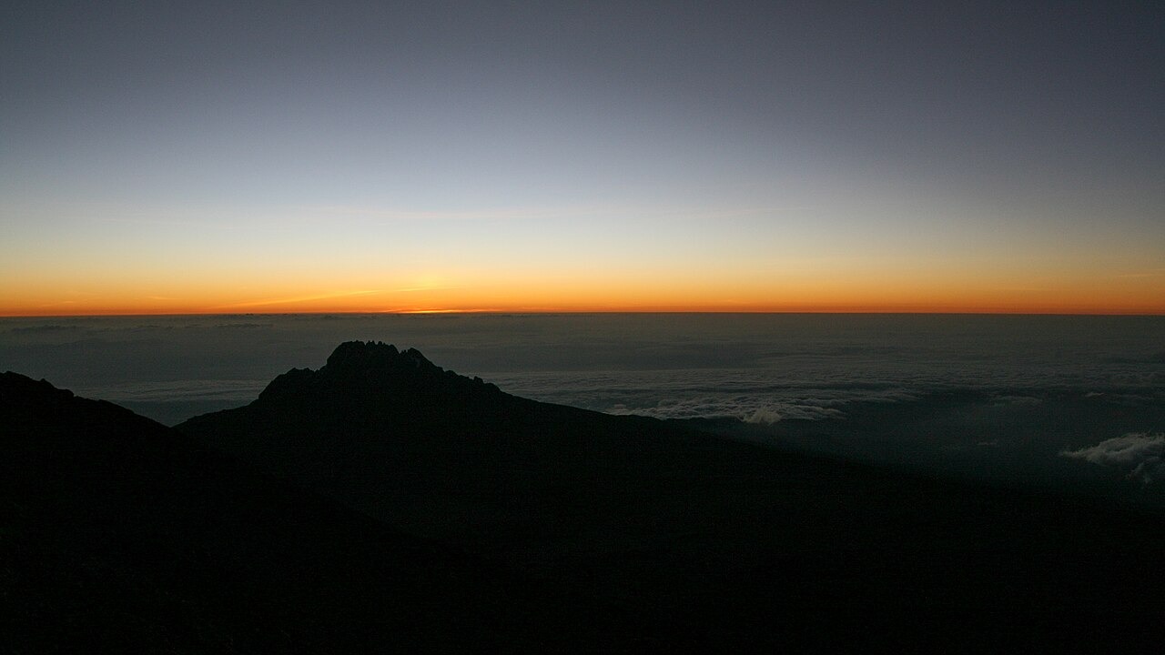
The Marangu side below the rim descends through open scree and heath zones toward the lower forest belt to the east. From the rim, the enclosed crater floor and its remaining ice formations lie directly inward, while Mawenzi, Kilimanjaro's second volcanic peak, stands prominently to the northeast. Kilimanjaro National Park is inscribed as a UNESCO World Heritage Site, a designation covering the mountain's ecosystems and geological features.