
The Namesake and the Survey Context
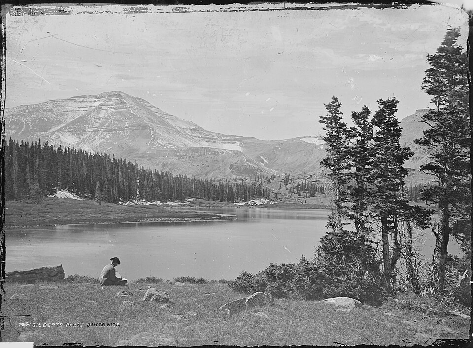
Grove Karl Gilbert was a government-survey geologist whose work shaped the understanding of western American landforms. The Uinta range holds a cluster of summits named for scientists of his era, and an archival photograph of Gilbert Peak survives from the Hayden Survey collection, taken by photographer William Henry Jackson. Gilbert is the namesake of the peak; Jackson was the one who recorded its image for that survey.
The Gilbert Peak Erosion Surface
In 1936, W. H. Bradley named a widespread erosional surface for remnants preserved on the north and west slopes of Gilbert Peak, a landform distinct from the modern summit that shares its name. This ancient surface predates the Bishop Conglomerate, a deposit that later accumulated on top of it. The Utah Geological Survey notes that the Bishop Conglomerate covers this surface widely along the south flank of the Uintas, while the north flank exposes the surface largely bare.
Summit and Landform as Separate Subjects
On topographic maps, the Gilbert Peak erosion surface appears as broad, nearly level bench remnants set apart from the steeper terrain of the modern summit above and the canyon basins below. Distinguishing the summit from the surrounding surface requires tracing the break in slope where the high point rises above the flat remnant platform. The GNIS record and the Utah Geological Survey's elevation figure refer to the summit itself, while geologic literature using the same name may refer to the regional erosional landform.