
Survey Work and Glacier Routes
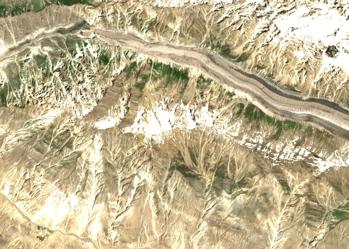
During a 1939 survey expedition, Fountaine explored the head of the Gharesa Glacier in search of a pass towards Shimshal. He came back without finding a crossing, but the photographs he took with a Zeiss survey camera helped fill gaps in Inayat Khan’s mapping. In 1960 a British-American expedition followed the glacier to approach Trivor. The 1964 Austrian expedition used the same valley on its approach to Momhil Sar.
A 2020 study used satellite images to measure the Gharesa Glacier. It recorded an area of about 77.9 square kilometres and periods of unusually fast ice movement in 1995–1997 and 2001–2003. Such a speed-up, known as a glacier surge, can redistribute ice rapidly within the glacier.
Schell's 1964 Ascent and the East Ridge
On 9 July 1964, after the expedition to Momhil Sar, Hanns Schell climbed Gharesa Peak alone via its long east ridge. From the summit he could see the north face of Malubiting. The Swiss Alpine Club’s contemporary chronicle records the climb and gives the summit elevation of 5,341 metres, which also appears in a later draft conservation plan.
Local Naming and Regional Geology
In 2024, Adam Bielecki and Louis Rousseau approached two other summits via the Gharesa Valley. They returned to Nagar with photographs of their climbs. Villagers recognised the peaks as Naseer Baig I and II, names they said came from a campsite below the higher summit.
A 2014 study of rock samples from the Hispar and Gharesa areas used microscopic tracks in the mineral apatite to reconstruct how the rocks cooled as erosion exposed them. The study traced that process across parts of the Hunza Karakoram.