
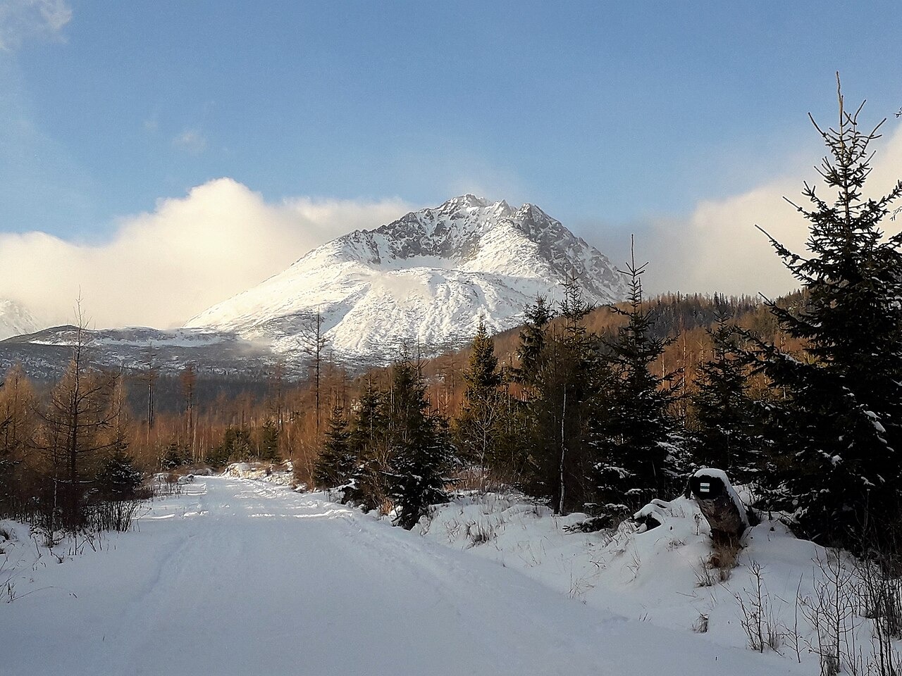
Summit Massif and Surrounding Valleys
The summit massif is flanked by two glacially carved valleys. The Velická valley to the east holds the roughly 15-metre Velický waterfall. A terrace within that valley known as Kvetnica supports notable botanical diversity. The Batizovská valley lies to the west. Both valleys are part of the High Tatras protected landscape.
Botanical and Cartographic Records
Polish botanists made a documented ascent of the peak in 1855, an event preserved in the historical review held by the Slovak National Association of Mountain Guides. The same review identifies a marked route appearing in a separate 1896 to 1897 military cartographic record.
The 1923 Group Ascent
In 1923 the Czechoslovak Tourist Club and local branches raised the state flag at the summit, with mountain guides and climbers helping to organise the event. This ascent is documented in archival material held by the Slovak Museum of Nature Protection and Speleology.