
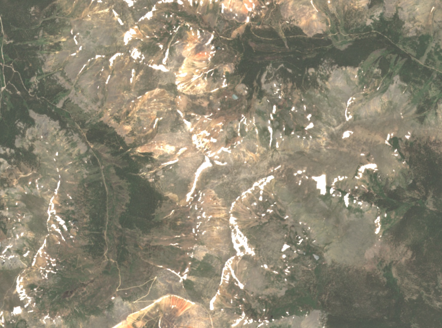
A Ridge on the Continental Divide
Geneva Peak is the highest point along a roughly three-mile alpine ridge that the Colorado Natural Heritage Program surveyed in 1997, taking in Sullivan Mountain and Landslide Peak. The 2022 US Forest Service landscape inventory lists Geneva as part of the Continental Divide landscape. The western slopes drain toward the Snake River, while eastern drainages feed Geneva Creek. The USGS 1988 map places Geneva Lake and Josephine Lake on the eastern side of the ridgeline.
Whitlow-Grasses on Granitic Slopes
The 1997 survey found rocky granitic slopes with sparse plant cover, including alpine sandwort and Rocky Mountain nailwort growing between stones. Among the four uncommon whitlow-grasses recorded across the ridge, Colorado Divide whitlow-grass (Draba streptobrachia) and Grays Peak whitlow-grass (Draba grayana) were two examples.
Iron Deposits and Wetlands Below the Summit
A 1976 USGS study documented beds of ocher beneath pyrite-bearing rocks in glacial cirques of the region, including the Geneva Creek drainage. Where sulfide-bearing rock weathers, dissolved iron may precipitate at the surface as ocher. Clear Creek County's 2024 open-space plan describes the iron fens of Geneva Creek Basin as peat-forming, groundwater-fed wetlands with water near pH 3, where reddish limonite deposits form small ledges and terraces. These features lie in valleys below the high summit terrain.