
From granite to slate
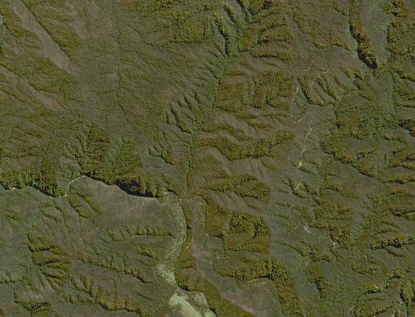
In field notes published in 1897, geologist A. E. Kitson describes a “Gehi Wall” where a granite plateau gives way to near-vertical beds of slate, phyllite and schist. He noticed the change in the rocks as well as the denser growth of trees. He recorded a drop of 825 feet, about 250 metres, along the old traverse. The close contours on the New South Wales topographic map show the steep descent to Walls Creek.
The 1840 expedition
In March 1840, Paweł Edmund Strzelecki and James Macarthur travelled through the area with the Aboriginal guides Jackey and Charlie Tarra. James Riley stayed with the packhorses near Black Creek. Surveyor L. H. P. C. Clews used Macarthur’s account and the terrain to reconstruct the party’s descent of the Geehi Walls and its approach to Mount Townsend and Mount Kosciuszko.
People travelled this country long before the expedition. NSW National Parks recognises Wiradjuri, Wolgalu, Ngunnawal and Monaro Ngarigo peoples as Traditional Owners across Kosciuszko National Park.
A name that stayed on the map
In 1921 a walking party crossed the old Gehi Wall and used horses to ford the river. Robert Henderson Croll published an account of the trip in 1928. The name endures on NSW National Parks maps as the Geehi Walls Trail, above the flats of the Swampy Plain River.